What is recorded here
Forty metres of blackthorn and wet earth hide a curved boundary that may have stood since before maps existed. The fort is not a monument but a living edge, shaping the field and resisting memory. People walked past it for centuries, seeing only a bend in the pasture. What they lacked was not wall or gate but the courage to stop and witness what the land was still holding.
In rough pasture, in low-lying, rush-grown poorly drained terrain. This possible rath is designated ‘Fort’ on the 1837 ed. of the OS 6-inch map, however, the fort itself is not clearly depicted. The word ‘Fort’ is shown to the W of a field boundary that forms a shallow arc (L c. 55-60m) curving from NNE-E-S. A second, similar, field boundary lies c. 30m to its E and it too curves roughly from N-S. The two boundaries define the W, N and E sides of a roughly crescent-shaped field (c. 60m N–S; c. 30m E–W), which is bordered at S by an E–W laneway. The crescent-shaped field is extant but is largely covered in impenetrable blackthorn scrub and brambles. Traces of a field drain are evident to the E of the E field bank. Remnants of the enclosure may be subsumed into the N end of the field where the E field bank (Wth c. 2m; int. H 0.5m; ext. H 1.6m to base of drain) appears quite substantial and has a curve from N–NE that seems at variance with the linear nature of adjoining field banks. However, the W field bank also has a curve or kink at its N end. In both cases due to the dense overgrowth further examination was impossible.
Compiled by: Jane O'Shaughnessy
Date of upload: 24 January 2013
The monument record does not grant public access. Check the route and ask the landowner before entering private land.
- What survives
- Recorded monument
Places near here
 Mornin Castle (in Ruins)Castle, tower house · 852 yd
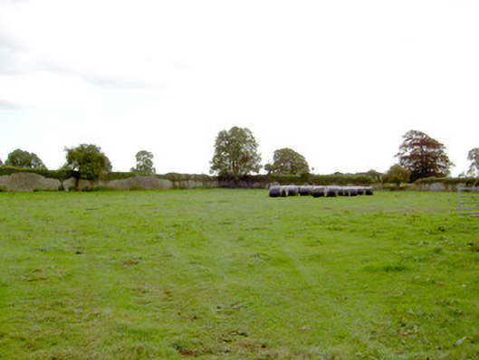 Park Placewalled garden · 1374 yd
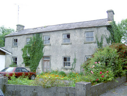 Keel Househouse · 1381 yd
 IndicatedFairy fort / earthen ringfort · 1474 yd
 fort HachuredFairy fort / earthen ringfort · 1.0 mi
 DoonphilipCastle, motte · 1.4 mi
 National Famine WayWalking route · 2.3 mi
 Newcastle WoodsForest · 4.1 mi
 Corlea Bog Walk Canal BranchWalking route · 4.3 mi
 Target WoodWood · 4.3 mi
 Corlea Trackway Interpretative CentreHeritage attraction · 4.5 mi
 Guest ServicesVisitor information · 4.9 mi