What is recorded here
In grassland with stream 20m to S, bisected by a post-1700 field boundary running NE-SW. Modern house in field immediately to NNE. Ringfort (LI038-036----) 120m to SW. Outline of circular-shaped area (approx. int. diam. 30m; ext. diam. 55m) enclosed by a low bank, ditch and external bank visible on Digital Globe orthophoto taken 2011-13. Outline of possible bivallate ringfort clearly visible on Google Earth orthoimages taken 25/03/2017 and 28/06/2018. The 2018 orthophoto shows clearly the presence of an internal ditch and possibly three enclosing banks which may suggest a prehistoric barrow or henge type monument rather than that of a ringfort.
See attached Google Earth orthophotos taken 25/03/2017 and 28/06/2018
Compiled by: Caimin O’Brien
Date of upload: 31 May 2020
The monument record does not grant public access. Check the route and ask the landowner before entering private land.
- What survives
- Recorded monument
Places near here
 Burial Gd. for ChildrenChildren's burial ground · 368 yd
 Kilmore Housecountry house · 986 yd
 Enclosure in Kilmore DemesneEnclosure · 987 yd
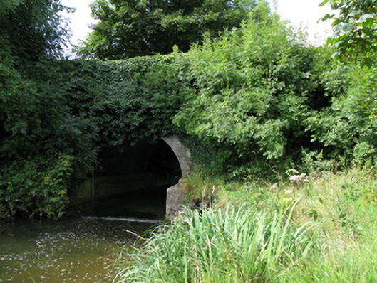 bridgebridge · 1089 yd
 Castle (in ruins)Castle, unclassified · 1458 yd
 CastleCastle, unclassified · 2.2 mi
 KnockfeerinaMountain / peak · 2.7 mi
 Kinnoor WellSpring · 2.9 mi
 European ashEuropean ash · 3.1 mi
 Dysert AenghusaHeritage attraction · 3.3 mi
 Famine stoneMemorial · 3.3 mi
 Biodiversity in the Maigue CatchmentVisitor information · 3.4 mi