What is recorded here
On top of a natural rise in undulating countryside. Circular area (diam 28m E-W) enclosed by an earthen bank (Wth 1.5m; int. H. 0.7m; ext. H 2m) from SW through W to North, elsewhere it is reduced to a scarp with wide fosse (Wth 2m; ext. D 0.7m) and external bank (Wth 2m; ext. D 0.5m) best preserved from North to West elsewhere destroyed. A field ditch intersects the site at East.
The above description is derived from the published 'Archaeological Inventory of County Offaly' (Dublin: Stationery Office, 1997). In certain instances the entries have been revised and updated in the light of recent research.
Date of upload: 23 May 2011
The monument record does not grant public access. Check the route and ask the landowner before entering private land.
- What survives
- Recorded monument
Places near here
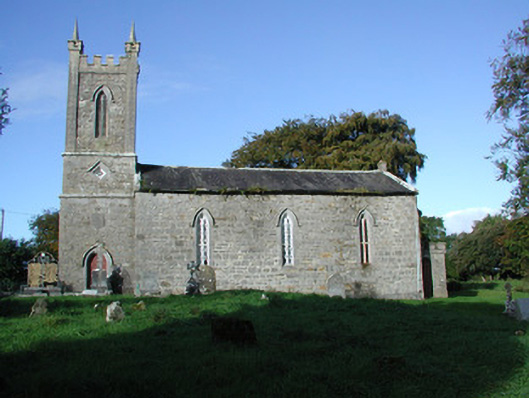 Liss Church (Lemanaghan)church/chapel · 540 yd
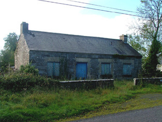 Liss National Schoolschool · 575 yd
 BarrowBarrow, ring-barrow · 717 yd
 Crannog in SpringparkCrannog · 1505 yd
 Castle ArmstrongHouse, fortified house · 1.3 mi
 Inchaloon IslandIslet · 1.4 mi
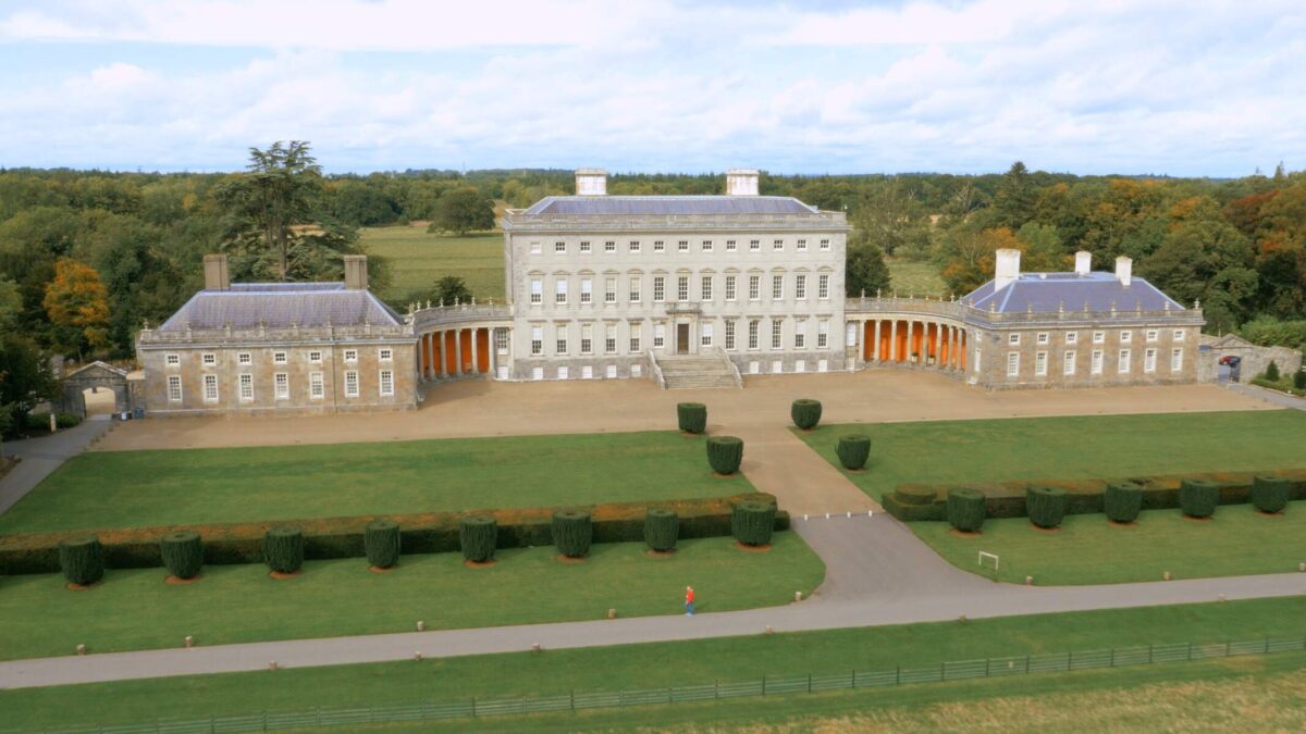 Bawn in Castletown (ballycowan By.)Bawn · 2.2 mi
 European ashEuropean ash · 3.0 mi
 Clara Bog BoardwalkHeritage attraction · 3.4 mi
 Moate HillMountain / peak · 4.3 mi
 The Bob Traynor GalleryGallery · 4.5 mi
 Charles BianconiMemorial · 4.5 mi