What is recorded here
In undulating pasture, on gentle S-facing slope. Roughly oval area (19m N-S; 25m E-W) defined by scarped edge (H 1.2m; Wth 5m) NE->NW, but scarp truncated by linear E-W field boundary NW->NE. Interior, covered by rough grazing, slopes down gently to S. Immediately beyond field boundary to N is large abandoned quarry.
Compiled by: Denis Power
Date of upload: 26 August 2011
The monument record does not grant public access. Check the route and ask the landowner before entering private land.
- What survives
- Recorded monument
Places near here
 Cliff-edge fort in MohernaghCliff-edge fort · 940 yd
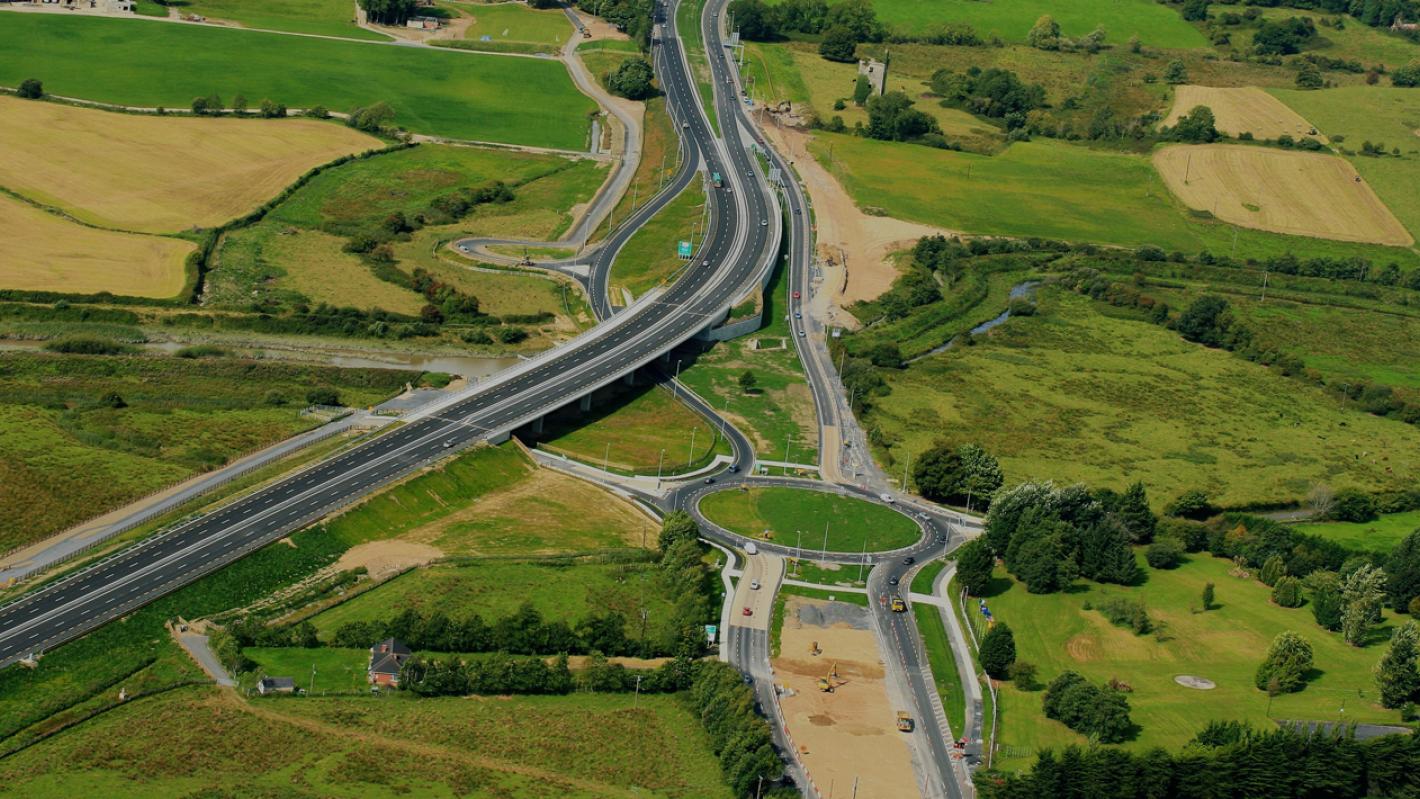 RoadRoad, road/trackway · 1025 yd
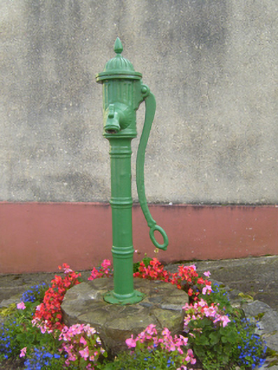 water pumpwater pump · 1173 yd
 Cliff-edge fort in FinnooCliff-edge fort · 1312 yd
 TobercloonaghSpring · 1.6 mi
 Prospect HillMountain / peak · 2.4 mi
 Shanid Castle (in ruins)Castle, Anglo-Norman masonry castle · 2.9 mi
 Shanid CastleCastle · 2.9 mi
 Monterey CypressMonterey Cypress · 4.0 mi
 Mountshannon PointHeadland · 4.8 mi
 Mountshannon WoodWood · 4.9 mi
 Killanna PointHeadland · 5.2 mi