What is recorded here
In undulating pasture, on top of a sheer-sided cliff which rises from the E bank of the Abhainn River. A roughly circular area (33.2m N-S; 31m E-W) enclosed NW->S by an earthen bank (int. H 0.3m; ext. H 1.25m), and defined S->NW by the cliff edge (H c. 8m). There is a gap (Wth 2m) in the bank to SE. The bank is partially overgrown with bushes, and the level interior is under high grass.
From the National Monuments Service (Archaeological Survey of Ireland) record LI018-056
The monument record does not grant public access. Check the route and ask the landowner before entering private land.
- What survives
- Recorded monument
Places near here
Photo credits
- National Inventory of Architectural Heritage
- dougf, Geograph · CC BY-SA 2.0
- Vadim Manuylov, Wikimedia Commons · CC BY-SA 3.0
- Roger McLachlan, Wikimedia Commons · CC BY-SA 2.0
- N Chadwick, Geograph · CC BY-SA 2.0
- Graham Horn, Geograph · CC BY-SA 2.0
- Graham Horn, Geograph · Creative Commons Attribution-ShareAlike 2.0
- Created by Kglavin Modified Aug 2007 by Mike Christie, Wikimedia Commons · CC BY-SA 3.0
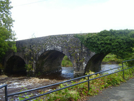 bridge336 yd
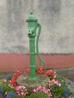 water pump401 ydTobercloonaghSpring · 1.7 mi
 Shanid Castle (in ruins)Castle, Anglo-Norman masonry castle · 2.9 mi
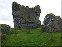 Shanid CastleCastle · 2.9 mi
 Monterey Cypress3.5 mi
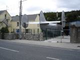 Foynes Flying Boat & Maritime MuseumMuseum · 4.9 mi
 Foynes Island ViewpointViewpoint · 4.9 mi
 Labasheeda BayBay · 4.9 mi
 Labasheeda QuayVisitor information · 5.1 mi
 Grave YardGraveyard · 5.4 mi
 Ardagh FortArchaeological place · 6.7 mi
More archaeology and monuments in County Limerick · All of County Limerick
What do you know about this place?