
What is recorded here
In dense woodland. An oval area (28m N-S; 41.6m E-W) enclosed NE->SE by an earthen bank (int. H 0.65m; ext. H 1.3m) with an external fosse (D 0.65m; Wth 2m), and defined SE->NE by a steep-sided slope forming part of a dried-up meander of the White River. At NE is a break in the bank (Wth 4.5m) which gives entry to the interior. The interior surface is uneven, and in the SE quadrant is a low earthen mound (3.2m x 1.6m; H c. 0.35m).
Compiled by: Denis Power
Date of upload: 26 August 2011
The monument record does not grant public access. Check the route and ask the landowner before entering private land.
- What survives
- Recorded monument
Places near here
 Cliff-edge fort in MohernaghCliff-edge fort · 708 yd
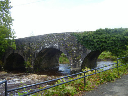 bridgebridge · 822 yd
 Ardnakisha Burial GroundBurial ground · 823 yd
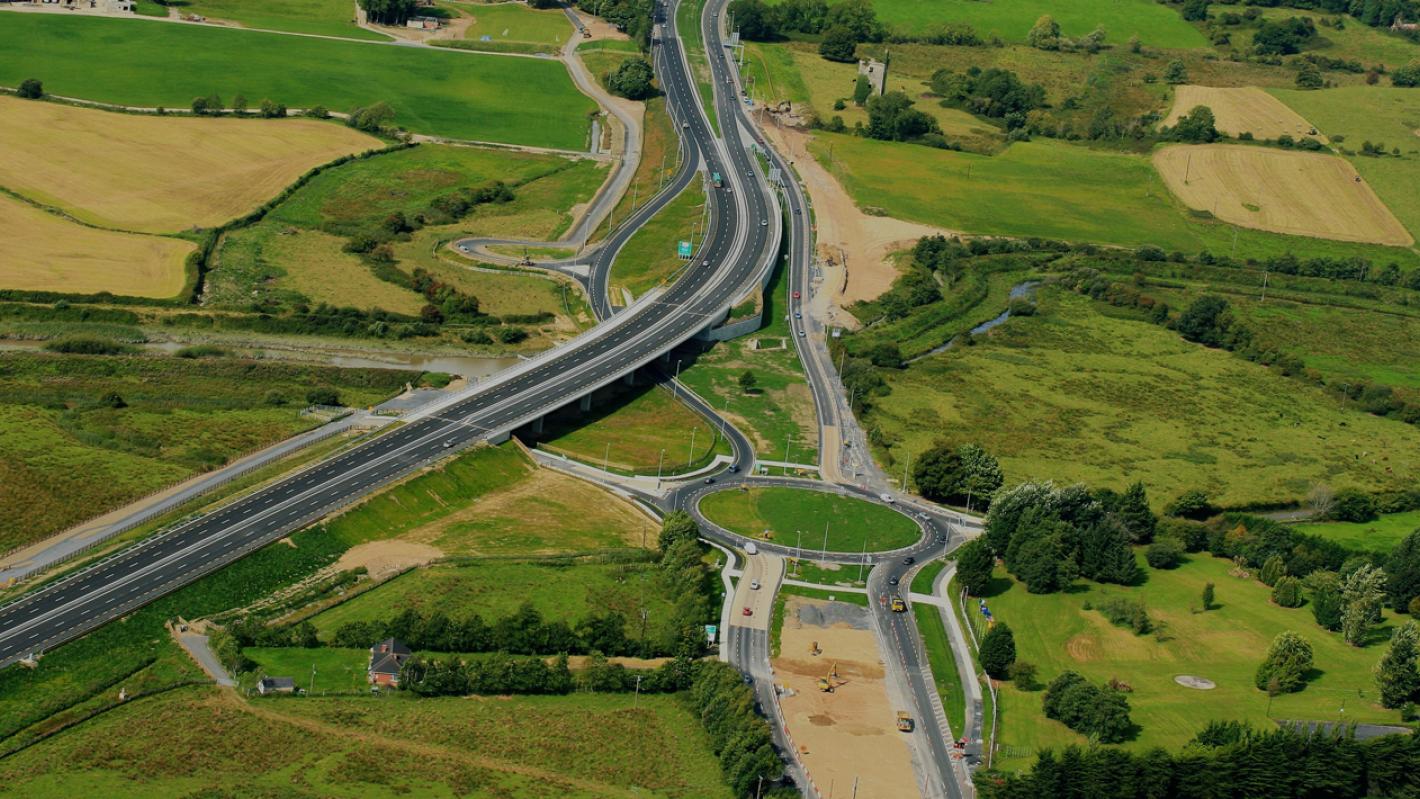 RoadRoad, road/trackway · 927 yd
 TobercloonaghSpring · 2.1 mi
 Prospect HillMountain / peak · 2.4 mi
 Shanid Castle (in ruins)Castle, Anglo-Norman masonry castle · 2.6 mi
 Shanid CastleCastle · 2.6 mi
 Monterey CypressMonterey Cypress · 3.2 mi
 Foynes Flying Boat & Maritime MuseumMuseum · 4.5 mi
 Foynes Island ViewpointViewpoint · 4.6 mi
 Mountshannon PointHeadland · 4.6 mi
Other information
Photo: Credit not shown in the picture search · Rights wording not checked; contact us if this picture should be removed