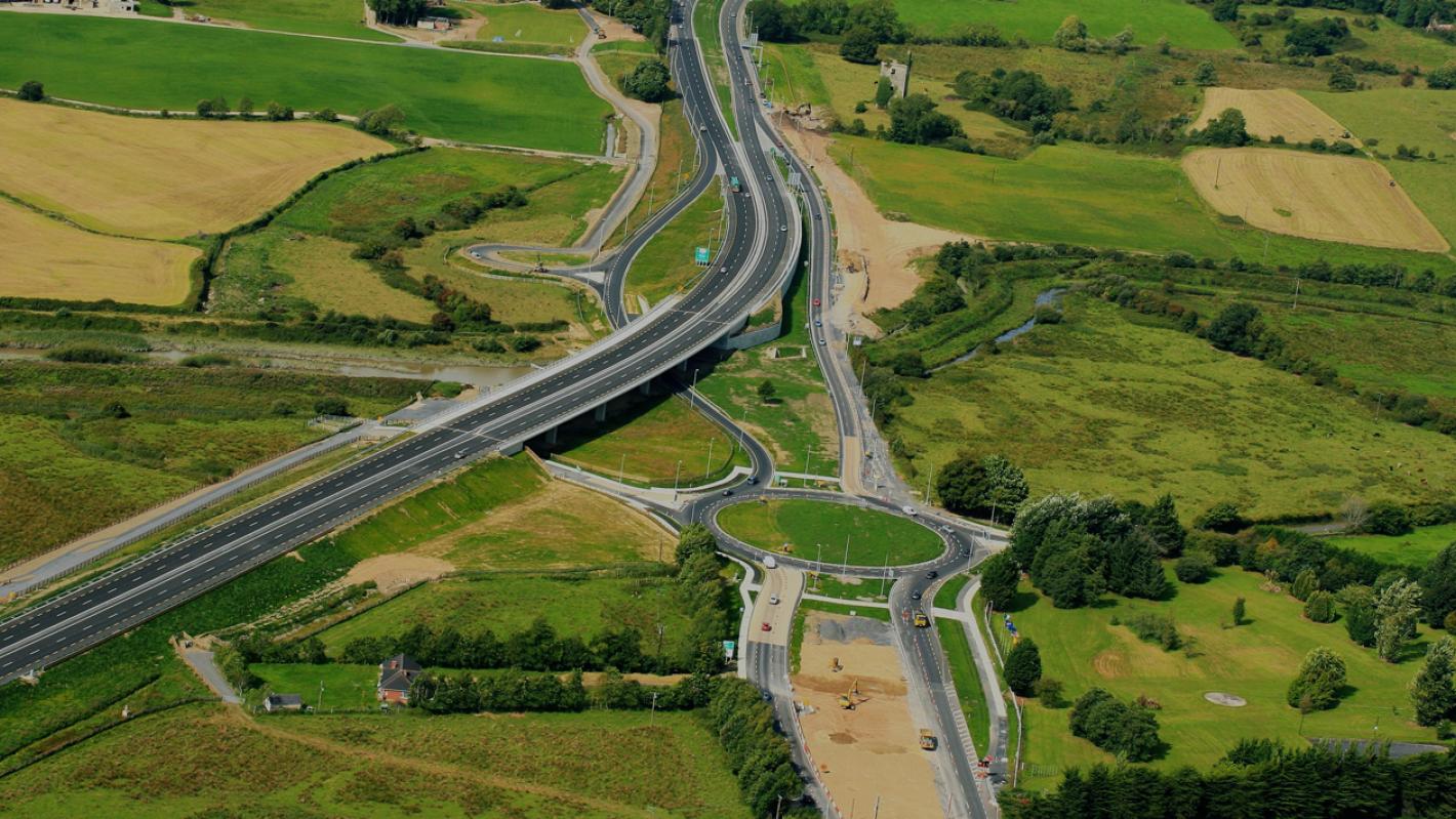
What is recorded here
In pasture, on E-facing slope. Two low, broad parallel earthen banks (H c. 0.4m; Wth c. 2.5m), c. 1.3m apart, travel in N-S direction distance of c. 50m between two E-W field boundaries. Probably remains of trackway, possibly mass path leading to Ballyhahill R.C. Church which lies short distance to N.
Compiled by: Denis Power
Date of upload: 26 August 2011
The monument record does not grant public access. Check the route and ask the landowner before entering private land.
- What survives
- Recorded monument
Places near here
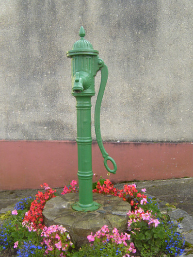 water pumpwater pump · 172 yd
 Cliff-edge fort in MohernaghCliff-edge fort · 242 yd
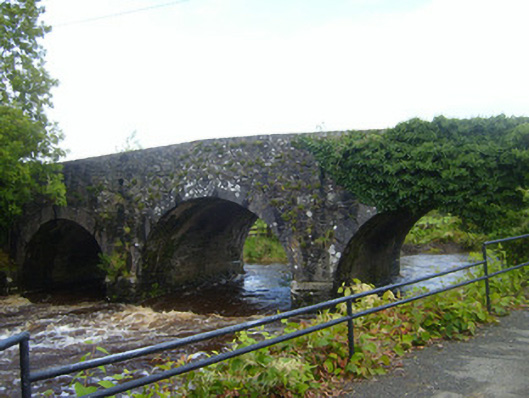 bridgebridge · 275 yd
 Cliff-edge fort in FinnooCliff-edge fort · 927 yd
 TobercloonaghSpring · 1.6 mi
 Prospect HillMountain / peak · 2.0 mi
 Loghill HoCastle, unclassified · 2.6 mi
 Shanid Castle (in ruins)Castle, Anglo-Norman masonry castle · 3.1 mi
 Monterey CypressMonterey Cypress · 3.5 mi
 Mountshannon PointHeadland · 4.3 mi
 Mountshannon WoodWood · 4.4 mi
 Killanna PointHeadland · 4.7 mi
Other information
Photo: Credit not shown in the picture search · Rights wording not checked; contact us if this picture should be removed