What is recorded here
In improved pasture to NNE and tillage to SSW. An enclosure (TS062-054----) is located c. 110m to ESE. A circular area (dims. 32m WNW-ESE; 31.25m NNE-SSW) bisected by a tertiary road (Wth 4m) running WNW-ESE. The monument is defined by an earthen bank (overall Wth 6.5m; Wth at top 2m; int. H 0.4m; ext. H 1.25m) WNW-N-E, reduced to scarp (Wth 2.9m; H 2.15m) from ESE-S-W; a fosse (overall Wth 6.7m; basal Wth 2.5m; D 0.45m) WNW-ESE which is deeper (overall Wth 8.35m; basal Wth 3.25m; D 1.1m) from ESE-S-W and an outer bank (overall Wth 5.7m; Wth at top 1.5m; int. H 1.1m; ext. H 0.55m) which is evident from ESE-S-W. The interior slopes down gently to ESE in both sectors.
Compiled by: Jean Farrelly
Date of upload: 26 August 2011
The monument record does not grant public access. Check the route and ask the landowner before entering private land.
- What survives
- Recorded monument
Places near here
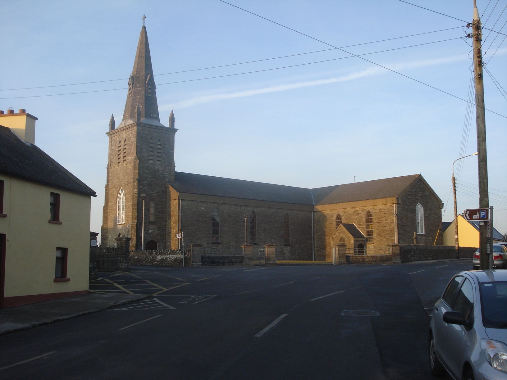 Enclosure in Milltown St. JohnEnclosure · 171 yd
 Saint Johnstown CastleCastle · 682 yd
 St. Johnstown ChurchChurch · 738 yd
 EnclosureEnclosure, large enclosure · 923 yd
 Church in ruins, Grave YardChurch · 965 yd
 CastleCastle, unclassified · 1681 yd
 Eagle HillMountain / peak · 2.0 mi
 Kilknockan HillMountain / peak · 3.1 mi
 East GateMemorial · 4.2 mi
 European YewEuropean Yew · 4.3 mi
 Noan WoodWood · 4.4 mi
 Gobban Saer's GraveArchaeological place · 5.7 mi