What is recorded here
In improved, generally level, pasture. A ringfort (TS062-053----) is located c. 110m to WNW. The remains of a low, sub-circular rise (dims. 24m NNE-SSW; 22m WNW-ESE) defined by levelled scarp (Wth 3.35m; H 0.05m) and backfilled fosse (overall Wth 9.55m; basal Wth 2.2m; D 0.05m) WSW-N-ESE. The fosse is visible as a light green band of differential growth. The monument has been truncated by a tertiary road (Wth 4.5m) running WNW-ESE across the SSW sector with a grove of trees (Wth c. 4m) planted within the enclosure immediately N of, and parallel to, the road. The N half (dims. c. 37m WNW-ESE; c. 18m N-S) from SW-N-NE is depicted N of the road on the 1st (1840) ed. OS 6-inch map.
Compiled by: Jean Farrelly
Date of upload: 26 August 2011
The monument record does not grant public access. Check the route and ask the landowner before entering private land.
- What survives
- Recorded monument
Places near here
 Saint Johnstown CastleCastle · 531 yd
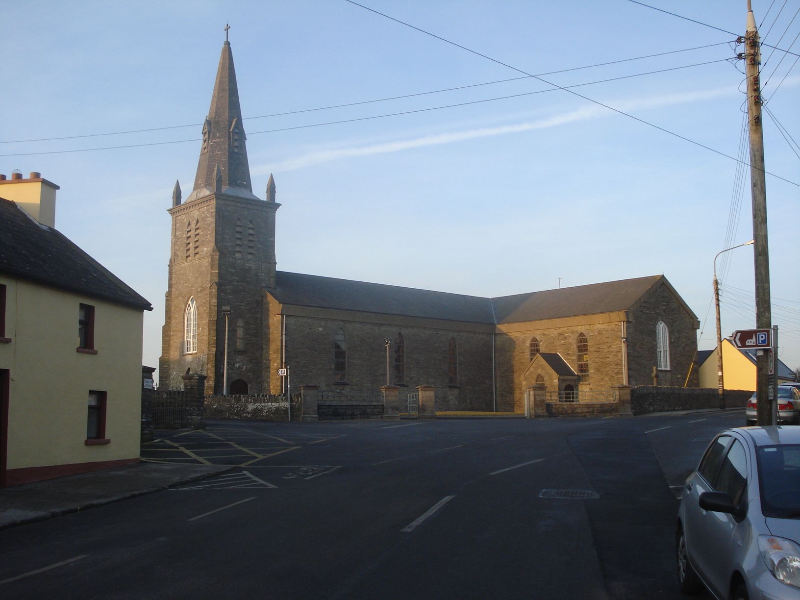
 St. Johnstown ChurchChurch · 574 yd
 EnclosureEnclosure, large enclosure · 811 yd
 Enclosure in St. JohnstownEnclosure · 1072 yd
 Church in ruins, Grave YardChurch · 1074 yd
 CastleCastle, unclassified · 1.0 mi
 Eagle HillMountain / peak · 2.0 mi
 Kilknockan HillMountain / peak · 3.1 mi
 East GateMemorial · 4.2 mi
 European YewEuropean Yew · 4.3 mi
 Noan WoodWood · 4.4 mi
 Cashel Folk MusuemMuseum · 9.3 mi
Other information
Photo: Credit not shown in the picture search · Rights wording not checked; contact us if this picture should be removed