What is recorded here
No fairies built Málainn Bhig, although people believed it. Human hands stacked a circular stone wall around a twenty-four metre yard on a ledge above Trabane Strand, probably centuries before written records reached Donegal. The collapsed rectangular chamber inside and the shallow northern ditch suggest a working household or defensive trap rather than a child's fairy ring. What is certain is that people lived there, marked the edge of the world with stone, and left the rest to legend.
Internal diam. 24.9m. A circular area enclosed by a collapsed stone wall up to 2.45m wide and up to .57m high. A fosse 2.1m wide and now c. 0.15m deep runs along the outside on the N half. This is not present on the S where the land falls away steeply. Internally on the E side is the collapsed remains of a rectangular stone structure (DG089-017002-). 4.8m externally and 2.35m internally E-W and 4m externally and 1.9m internally N-S. There are two, probably modern depressions in the cashel wall, one at the NW and another at the WSW. The site is located on a ledge above Trabane Strand.
This is a National Monument in State care (no. 139 (3)).
The above description was derived from the 'Archaeological Survey of County Donegal. A description of the field antiquities of the County from the Mesolithic Period to the 17th century.' Compiled by: Brian Lacey with Eamon Cody, Claire Cotter, Judy Cuppage, Noel Dunne, Vincent Hurley, Celie O'Rahilly, Paul Walsh and Seán Ó Nualláin (Lifford: Donegal County Council, 1983). In certain instances the entries have been revised and updated.
Date of upload: 22 September 2008
The monument record does not grant public access. Check the route and ask the landowner before entering private land.
- What survives
- Recorded monument
Places near here
 An Trá BhánBeach / strand · 353 yd
 Silver Strand ViewpointViewpoint · 531 yd
 The DoonPromontory fort, coastal · 715 yd
 Droichead Crimlinbridge · 1007 yd
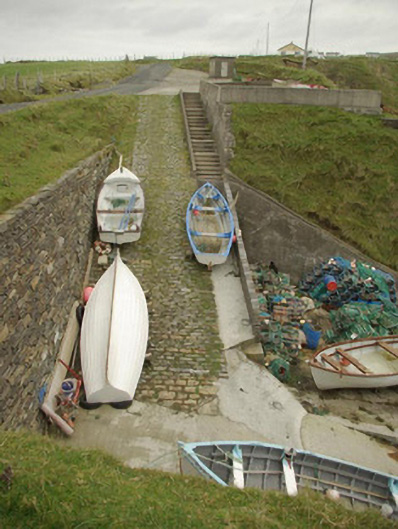 quay/wharfquay/wharf · 1087 yd
 Malin Beg / Trabane Bay Coastal Promontory FortPromontory fort, coastal · 1325 yd
 Rathlin O'Birne IslandIslet · 2.3 mi
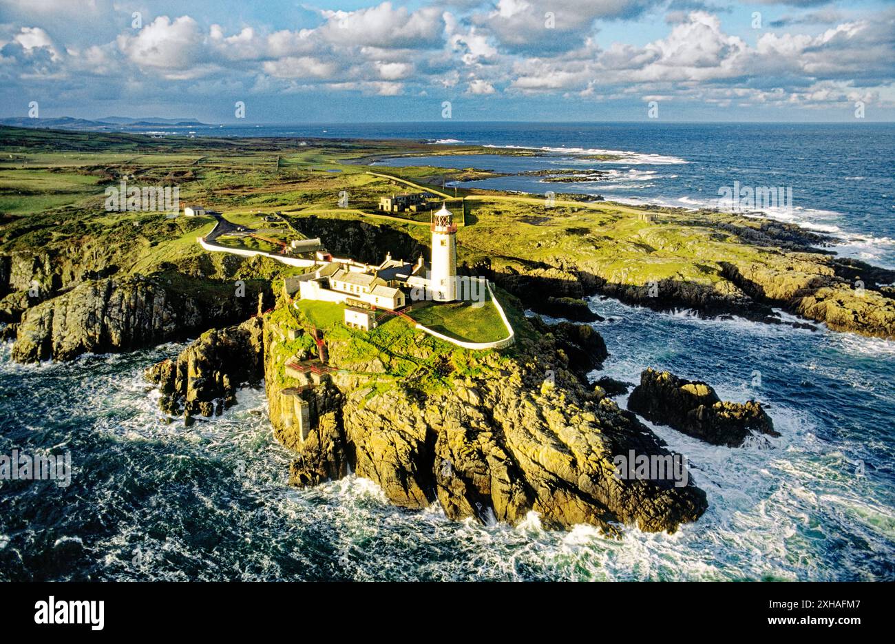 An EibhearIslet · 2.5 mi
 Slieve LeagueMountain / peak · 2.7 mi
 Rossan PointHeadland · 3.0 mi
 An Trá Bheag (Trá Bheag an Ghleanna)Beach / strand · 3.1 mi
 Glencolmcille Folk VillageMuseum · 3.1 mi