
What is recorded here
Doon Point is a small coastal promontory in County Donegal where a low earthen bank and outer ditch once cut across the headland neck, forming a fortified refuge above the sea. The huts that occupied its grassy interior disappeared near the beginning of the last century, leaving behind a flat slope, a small burial mound, and the kind of exposed clarity where human life still feels possible beneath the wind.
A small S-facing promontory known locally as 'Doon Point' or 'the fort'. The approaching narrow neck of land is traversed by a valley/fosse/ditch but there is no sign of any bank. There were a number of 'huts' (DG089-019002-) on the promontory but these were cleared about the beginning of this century. The interior is now flat grassland sloping to the E with some evidence of recent cultivation.
The above description was derived from the 'Archaeological Survey of County Donegal. A description of the field antiquities of the County from the Mesolithic Period to the 17th century.' Compiled by: Brian Lacey with Eamon Cody, Claire Cotter, Judy Cuppage, Noel Dunne, Vincent Hurley, Celie O'Rahilly, Paul Walsh and Seán Ó Nualláin (Lifford: Donegal County Council, 1983). In certain instances the entries have been revised and updated.
Located 324m north of the southern point of 'The Doon' there are the remains of a low earthen bank (top Wth 0.7m; base wth 1.5m; int. H 0.2m) with outer fosse (Wth 1m; ext. D 0.2m) which runs for a distance of 50m from east to west cutting off the headland known as 'The Doon' to form a fortified headland or promontory fort. This low earthwork appears to be the original outermost defensive element of the promontory fort. The remains of a small earthen mound (H 0.4m; top diam. 2.4m, base diam. 4.6m) (DG089-019003-) with slightly concave summit is located in the northern edge of the promontory fort. According to local information this mound traditionally marks the site of a grave or burial.
Date of upload: 17August 2009
The Doon, Malin Beg Coastal Promontory Fort is a small, south-facing promontory fort, likely dating to the early medieval period, characterized by a narrow neck traversed by a ditch with no visible bank. Local tradition refers to the site as 'Doon Point' or 'the fort,' and while specific folklore is not recorded, its coastal location suggests it may have been a defensive or seasonal settlement with possible connections to early maritime communities.
The monument record does not grant public access. Check the route and ask the landowner before entering private land.
- What survives
- Recorded monument
Places near here
 Silver Strand ViewpointViewpoint · 348 yd
 An Trá BhánBeach / strand · 366 yd
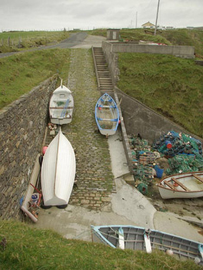 quay/wharfquay/wharf · 579 yd
 Malin Beg / Trabane Bay Coastal Promontory FortPromontory fort, coastal · 626 yd
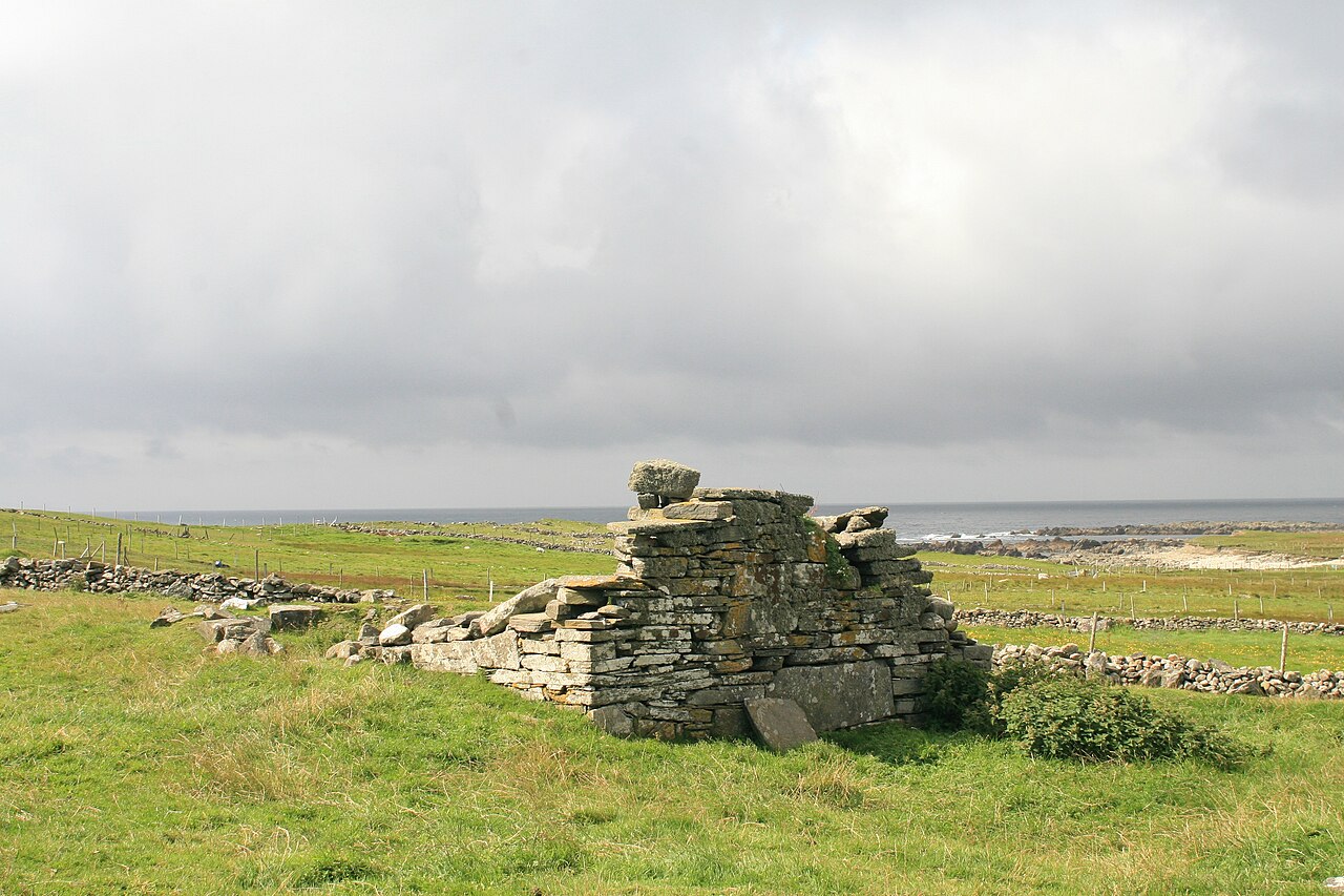 Templecavan ChurchChurch · 845 yd
 Malin Beg Signal TowerSignal tower · 855 yd
 Rathlin O'Birne IslandIslet · 1.9 mi
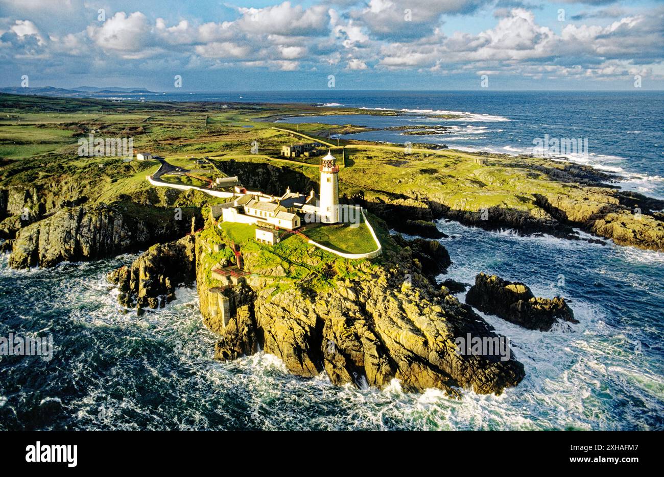 An EibhearIslet · 2.2 mi
 Slieve LeagueMountain / peak · 3.0 mi
 Rossan PointHeadland · 3.1 mi
 An Trá Bheag (Trá Bheag an Ghleanna)Beach / strand · 3.4 mi
 Glencolmcille Folk VillageMuseum · 3.5 mi
Other information
Photo: Credit not shown in the picture search · Rights wording not checked; contact us if this picture should be removed