What is recorded here
On a SE-facing slope, under pasture, in gently undulating terrain sloping down towards a pond, the water of which laps up against the outer edge of the inner bank of the SE quadrant of the ringfort. There is a well at the N end of the pond. Identified on aerial photographs taken in 1996 (ASIAP (26) 30-1; ASIAP (27) 12-13). A much denuded bivallate ringfort (diam. 31.5m E-W; N-S not obtainable as banks in S quadrant have been destroyed) defined by a bank (Wth 5m; int. H 0.33m; ext. H 0.5m); fosse (Wth 2m; D 0.32m) and outer bank (Wth 5.5m; H 037m). The outer bank is visible from SW-W-NE.
Compiled by: Jean Farrelly
Date of upload: 26 August 2011
The monument record does not grant public access. Check the route and ask the landowner before entering private land.
- What survives
- Recorded monument
Places near here
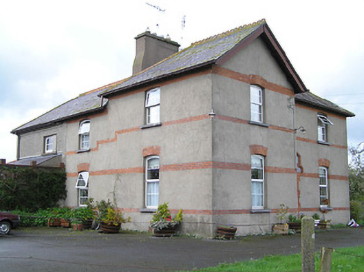 Ballyneill Castlehouse · 1340 yd
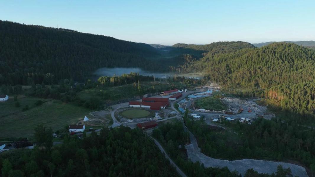 Enclosure in LissadoberEnclosure · 1.2 mi
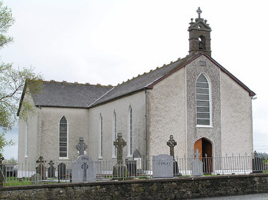 Saint Mary's Catholic Churchchurch/chapel · 1.3 mi
 Thomas KielyMemorial · 1.3 mi
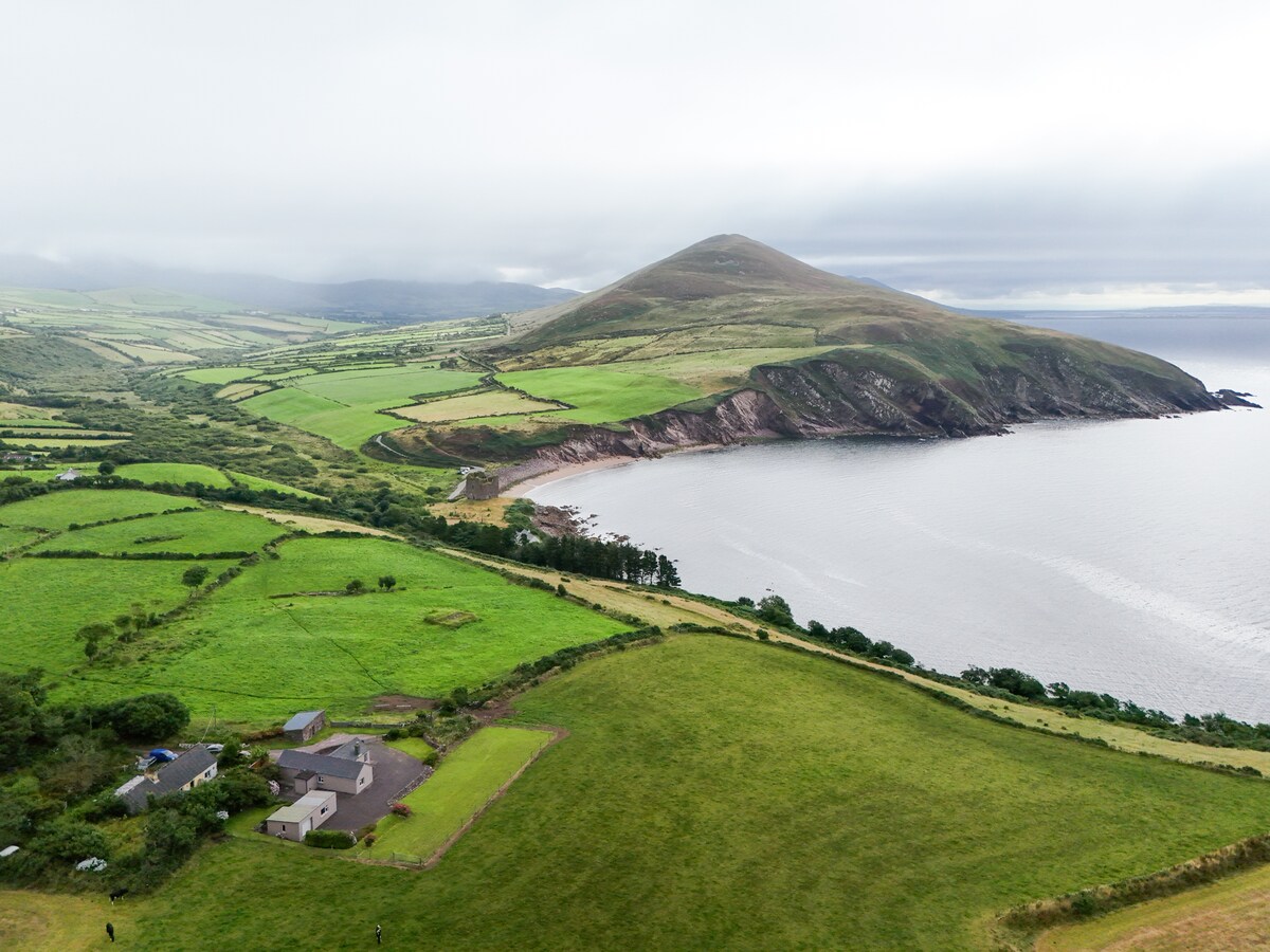 IndicatedEnclosure · 1.6 mi
 Curraghdobbin HillMountain / peak · 1.6 mi
 Wild CherryWild Cherry · 1.9 mi
 Carrigadoon HillMountain / peak · 2.4 mi
 Castle (in ruins)Castle, tower house · 2.7 mi
 Kilkieran CrossesHeritage attraction · 2.8 mi
 Kilcash WoodForest · 2.9 mi
 Coolnamuck Castke (in Ruins)Castle, tower house · 3.0 mi