What is recorded here
Situated on a slight rise of ground in undulating countryside. Only the W half of the ringfort survives as indicated on the latest ed. OS 6-inch map. The E half was destroyed between 1840 and 1904 as it is indicated as a subcircular enclosure on 1st ed. OS 6-inch map. The survivng remains consist of a semicircular area (diam. 32m N-S) enclosed by an earth and stone bank (Wth 2m; int. H 0.4m; ext. H 0.9) (Stout 1984, 75). Modern houses are built right up to the site at E.
The above description is derived from 'The Archaeological Inventory of County Tipperary. Vol. 1 - North Tipperary' compiled by Jean Farrelly and Caimin O'Brien (Dublin: Stationery Office, 2002). In certain instances the entries have been revised and updated in the light of recent research.
Date of upload/revision: 22 September 2008
This remains an important historical record, but the official description says the monument is no longer visible or has been destroyed. The monument record does not grant public access. Check the route and ask the landowner before entering private land.
- What survives
- No visible remains or recorded as destroyed
Places near here
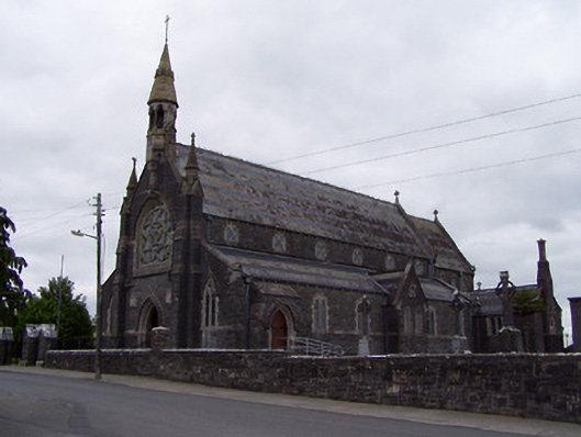 Catholic Church of the Sacred Heartchurch/chapel · 366 yd
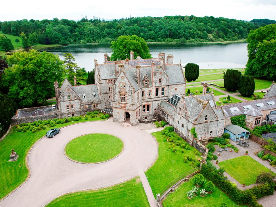 Lisalleen Castle (in ruins)Castle, unclassified · 401 yd
 Drummin Castle (in ruins)Castle, tower house · 906 yd
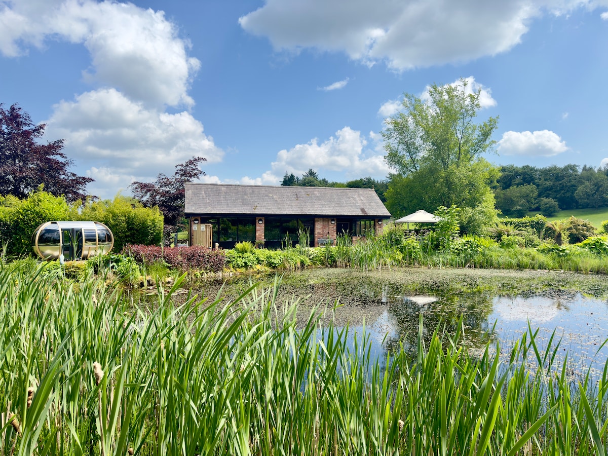 Enclosure in Cranagh,longorchardEnclosure · 1338 yd
 Church (site of)Church · 1541 yd
 Tullow HillMountain / peak · 1.0 mi
 Clonmeen WoodWood · 2.9 mi
 College HillMountain / peak · 5.4 mi
 Kilvilcorris BogForest · 7.8 mi
 Pheasant IslandHeritage attraction · 8.2 mi
 Lár na PáirceMuseum · 8.4 mi