What is recorded here
Situated in undulating pasture. Depicted on the revised 1910 ed. OS 25-inch map as a roughly circular-shaped earthwork (approx. diam. 25m). Ringfort described in 1973 as a roughly circular-shaped area enclosed by a low scarp of earth and stone. There is very slight trace of a wall or a bank on top of the scarp in places. A number of large boulders and stones lie on top of the scarp from ENE-E-ESE. The interior is densely overgrown with impenetrable vegetation and access is not possible. Monument is visible today as a circular-shaped tree-covered earthwork on Digital Globe aerial photography
Compiled by Alison McQueen, Vera Rahilly and Caimin O’Brien.
Date of upload: 13 November 2019
The monument record does not grant public access. Check the route and ask the landowner before entering private land.
- What survives
- Recorded monument
Places near here
 Partially indicatedEnclosure · 459 yd
 OutlinedEnclosure · 630 yd
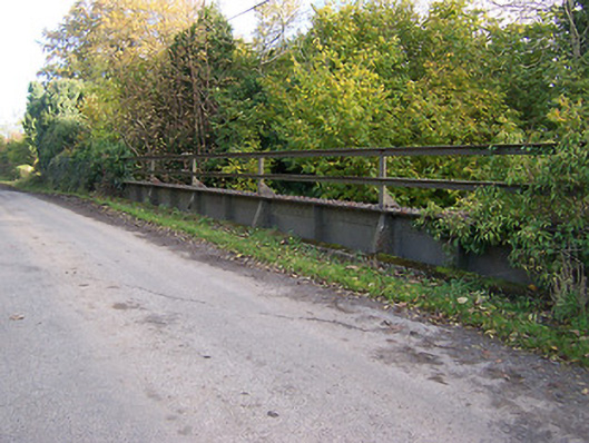 bridgebridge · 1060 yd
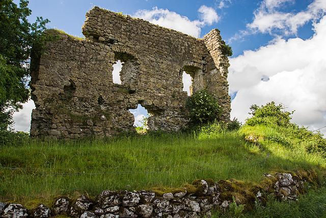 Laragh CastleCastle · 1150 yd
 KnockastiaMountain / peak · 1754 yd
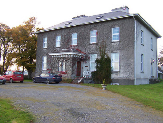 Streamstown Housecountry house · 1.1 mi
 Japanese pagoda treeJapanese pagoda tree · 1.5 mi
 Bishopstown Castle in ruinsCastle, unclassified · 1.5 mi
 Sam's ParkForest · 1.8 mi
 Kilmalady HillMountain / peak · 4.1 mi
 Charles BianconiMemorial · 5.2 mi
 ToberaskeenSpring · 5.3 mi