What is recorded here
Fairy fort in Lisnagat, County Cork: a 48m earthen ring on a sun-warmed slope, with a shallow saucer inside and a possible buried passage in the north half. People may have lived there, buried goods there, or walked past it thinking the ground was merely shaped by water and time. The fairy name does not dismiss human hands; it admits that memory left the facts behind.
In pasture, on S-facing slope. Circular area (48m N-S; 43.5m E-W) enclosed by low earthen bank (H 0.7m); silted-up external fosse to NW. Gap to SSE (Wth 3m). Interior saucer shaped; possible Man-made underground passage (CO096-093---) in N half. (GSAP)
The above description is derived from the published 'Archaeological Inventory of County Cork. Volume 1: West Cork' (Dublin: Stationery Office, 1992). In certain instances the entries have been revised and updated in the light of recent research.
Date of upload/revision: 14 January 2009
The monument record does not grant public access. Check the route and ask the landowner before entering private land.
- What survives
- Recorded monument
Places near here
 Mount Pleasant Schoolschool · 897 yd
 Man-made underground passage in Kilbarry (kinalmeaky By.)Man-made underground passage · 1009 yd
 Towers (in Ruins)House, fortified house · 1225 yd
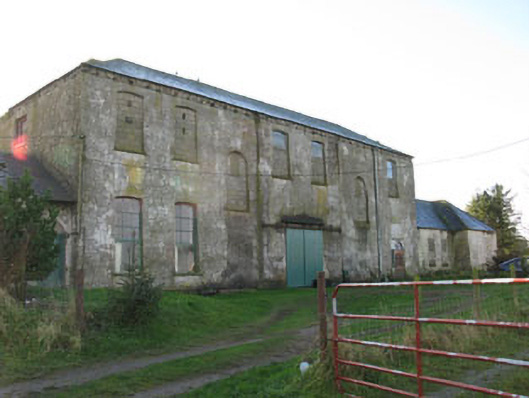 Mount Pleasantcountry house · 1686 yd
 Mount Pleasant WoodWood · 1.2 mi
 Fulacht FianFulacht fia · 1.4 mi
 Michael Collins MemorialMemorial · 2.3 mi
 Clodah CastleCastle · 3.1 mi
 Green HillMountain / peak · 4.1 mi
 Pedunculate OakPedunculate Oak · 4.1 mi
 Independence MuseumMuseum · 4.4 mi
 Kilmurry WoodsPicnic place · 4.6 mi