What is recorded here
Magic is not required to explain why the fort stands out. It is a raised oval of earth thirty-five metres long, still visible in low pasture despite lost entrance, cut fields and a destroyed SE edge. The fairies may be a dressing for human pride, but the shape is not imaginary. It is a made place, partly erased, still large enough to walk around and remember.
On a rise in low-lying pasture. A raised oval area (c. 35m NW-SE; c. 25m NE-SW) defined by a scarp (H 0.5-0.8m). There is no trace of a fosse and the original entrance is not recognisable. The interior is divided into roughly equal portions by a NW-SE field boundary. At SE the scarp and a portion of the interior have been destroyed due to the construction of a NE-SW field boundary and drain. A possible house (LF023-093002-) lies in the NE quadrant.
Compiled by: Patrick F. O'Donovan
Date of upload: 2 February 2012
This remains an important historical record, but the official description says the monument is no longer visible or has been destroyed. The monument record does not grant public access. Check the route and ask the landowner before entering private land.
- What survives
- No visible remains or recorded as destroyed
Places near here
 Indicated FortFairy fort / earthen ringfort · 292 yd
 Not locatedCastle, unclassified · 573 yd
 Enclosure in Killeendowd,taghshinnyEnclosure · 803 yd
 Catholic Church of the Sacred Heartchurch/chapel · 823 yd
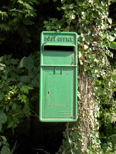 post boxpost box · 840 yd
 DoonphilipCastle, motte · 1310 yd
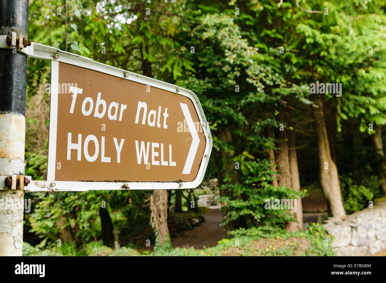 Kilbally Holy WellSpring · 2.1 mi
 Goldsmith Birthplace, PallasVisitor information · 2.5 mi
 Abbeyshrule AbbeyRuins · 2.5 mi
 Common LimeCommon Lime · 2.5 mi
 Newcastle WoodsForest · 2.6 mi
 Target WoodWood · 2.9 mi