What is recorded here
No visible surface trace survives at Lisheennagat, County Galway, but the old survey marked a circular enclosure about thirty metres across on a rise in undulating farmland. The field boundary cut through its northern edge, suggesting the rath gave way to human needs rather than disappearing into fantasy. Whatever life happened inside that ring has faded, leaving only a line on a map and a quiet emptiness in the land.
On a rise in undulating farmland. Marked on the OS 6-inch maps as a circular enclosure (diam. c. 30m) clipped by a WNW-ESE running field boundary at N. No visible surface trace survives. The cartographic evidence suggests that this was a rath.
Compiled by: Galway Archaeological Survey, UCG
Date of upload: 15 April 2019
The monument record does not grant public access. Check the route and ask the landowner before entering private land.
- What survives
- Recorded monument
Places near here
 Site of ToberelleenHoly well · 380 yd
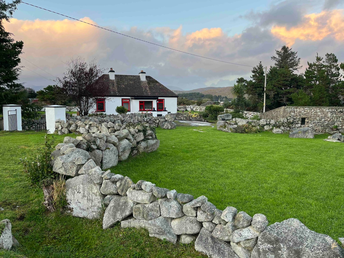 Templebanaha (in ruins)Church · 905 yd
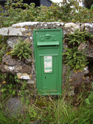 post boxpost box · 955 yd
 TobernagrannHoly well · 1601 yd
 Knockaunnageeragh Castle in ruinsCastle, unclassified · 1.0 mi
 Quarryhill WoodWood · 1.3 mi
 Site of Castle de BurghCastle, unclassified · 1.3 mi
 Bog WoodForest · 1.8 mi
 Church HillMountain / peak · 5.5 mi
 Stonyisland BayBay · 6.4 mi
 TullymoreMountain / peak · 9.6 mi
 The bloody HollowHeritage attraction · 11 mi