What is recorded here
No fairy ever flew there, though the name still belongs to the fort. Earth, rain and time built what the legend avoids naming. A family may have lived inside the circle before memory failed them. The ground kept the shape of their choice while people forgot the rest.
In undulating grassland. Poorly preserved subcircular rath (49m E-W; 46m N-S) defined by a
bank and external fosse. The fosse is best preserved from NW through N to NE; elsewhere a band of vegetation indicates its outline. There is a causewayed entrance gap (Wth 4.5m) at NE.
Compiled by: Galway Archaeological Survey, UCG
Date of upload: 15 January 2018
The monument record does not grant public access. Check the route and ask the landowner before entering private land.
- What survives
- Recorded monument
Places near here
 Wood View Househouse · 430 yd
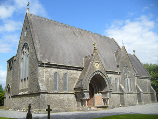 Church of Saint John the Baptist (Donanaghta)church/chapel · 625 yd
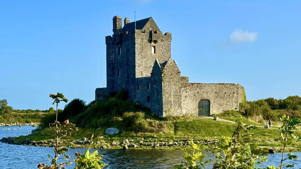 Killenehy FortArchaeological place · 1143 yd
 IndicatedFairy fort / earthen ringfort · 1.0 mi
 Redmond HillMountain / peak · 1.3 mi
 Lismore CastleCastle, tower house · 2.3 mi
 Silver FirSilver Fir · 2.4 mi
 Ballymore CastleCastle, tower house · 2.5 mi
 European ashEuropean ash · 2.9 mi
 Killeen's IslandIsland · 3.3 mi
 MeelickVisitor information · 3.3 mi
 Friars IslandIsland · 3.4 mi