What is recorded here
No visible gate, no broken wall, no missing chamber. A complete ring on a hillside, doing nothing but enclosing air. The measurement is twenty-six metres across, large enough for a small house and a yard. The shape is still complete, which means the function is no longer needed. The ring has stopped being a boundary for people and become a marker for the hill itself.
On a SE-facing slope in grassland. This almost circular rath (26.5m E-W; 25m N-S), in fair condition, is defined by a earth and stone bank (Wth 1.6m; int. H 0.5m; ext. H 0.9m) from NW through N to E and elsewhere by a scarp. The enclosing element is planted with trees. There is a stone-lined entrance gap (Wth 3.1) at E.
Compiled by: Galway Archaeological Survey, UCG
Date of upload: 15 January 2018
The monument record does not grant public access. Check the route and ask the landowner before entering private land.
- What survives
- Recorded monument
Places near here
 Wood View Househouse · 445 yd
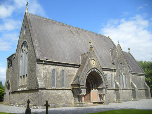 Church of Saint John the Baptist (Donanaghta)church/chapel · 881 yd
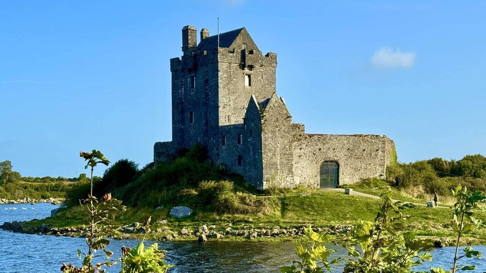 Killenehy FortArchaeological place · 1355 yd
 IndicatedFairy fort / earthen ringfort · 1386 yd
 Redmond HillMountain / peak · 1.1 mi
 Silver FirSilver Fir · 2.3 mi
 Ballymore CastleCastle, tower house · 2.3 mi
 Lismore CastleCastle, tower house · 2.4 mi
 European ashEuropean ash · 2.7 mi
 MeelickVisitor information · 3.4 mi
 Killeen's IslandIsland · 3.4 mi
 Friars IslandIsland · 3.5 mi