What is recorded here
Located on a fairly low NE-SW ridge. This is a subcircular grass-covered area (dims 46m NE-SW; 39m NW-SE) defined by an overgrown earthen bank that is best preserved at SE (Wth of base 5.3m; int. H 1m; ext. H 1.4m) or as a scarp (at ENE: Wth 4.5m; H 2.9m) that is separated by a fosse (at ENE: Wth of top 9m; Wth of base 2.5m; ext. D 0.7m; at WSW: Wth of top 6.5m; ext. D 1.6m) from an outer bank (at WSW: Wth of base 5m; ext. H 1.3m) that has been largely levelled (at ENE: Wth of top 4.5m; ext. H 2.3m) and has an outer drain (ext. D 0.5m) NNW-ESE. The entrance through the inner (Wth of base 2.1m) and outer (Wth of base 2.6m) banks and a causeway (Wth of base 6m; H 0.4m) are at SE. Rath (ME006-049----) is immediately to the SW. The entrance to the chamber of Man-made underground passage (ME006-050001-) is at the lip of the outer fosse on the E side. Archaeological testing (05E1046) by R. Meenan c. 80m to the NE produced no related material (excavatioins.ie 2005:1213).
The above description is derived from the published 'Archaeological Inventory of County Meath' (Dublin: Stationery Office, 1987). In certain instances the entries have been revised and updated in the light of recent research.
Revised by: Michael Moore
Date of revision: 26 October 2018
Amended: 29 January 2021, 15 December 2022
The monument record does not grant public access. Check the route and ask the landowner before entering private land.
- What survives
- Recorded monument
Places near here
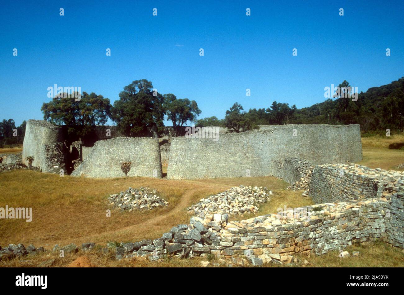 Enclosure in Footstown GreatEnclosure · 1368 yd
 Enclosure in BigstownEnclosure · 1.1 mi
 Site of Old CastleCastle, unclassified · 1.4 mi
 Smarmore Castlecountry house · 1.6 mi
 Gun HillMountain / peak · 1.6 mi
 Church (in ruins)Church · 1.7 mi
 Site of Siddan castleCastle, unclassified · 1.7 mi
 Valley WoodWood · 1.7 mi
 Screedoge HillMountain / peak · 1.7 mi
 Fox CovertForest · 3.6 mi
 Sir Frederick Foster MemorialMemorial · 4.3 mi
 Graveyard in StickillinGraveyard · 5.3 mi