What is recorded here
Situated on a N-facing slope of a hill. No feature is depicted on any edition of the OS 6-inch map. The cropmark of a large circular enclosure (diam. c. 60m) defined by a single continuous fosse is visible on an oblique aerial photographs (CUCAP: AVS004; 005) from 1968. It does not appear on any other images.
The above description is derived from the published 'Archaeological Inventory of County Meath' (Dublin: Stationery Office, 1987). In certain instances the entries have been revised and updated in the light of recent research.
Compiled by: Michael Moore
Date of upload: 10 July 2007
Amended: 2 August 2022
The monument record does not grant public access. Check the route and ask the landowner before entering private land.
- What survives
- Recorded monument
Places near here
 milestone/milepostmilestone/milepost · 1344 yd
 Site of Old CastleCastle, unclassified · 1609 yd
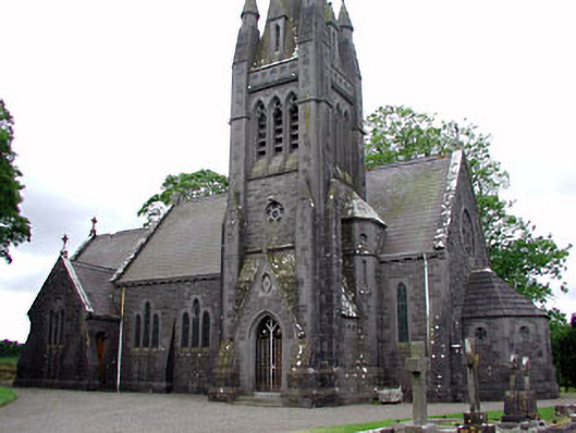 Saint David's Church (Siddan)church/chapel · 1.1 mi
 Font (present location) in SiddanFont (present location) · 1.1 mi
 Site of Siddan castleCastle, unclassified · 1.2 mi
 Cromwell's BatteryArchaeological place · 1.2 mi
 Gun HillMountain / peak · 1.2 mi
 Valley WoodWood · 2.5 mi
 Screedoge HillMountain / peak · 2.5 mi
 Fox CovertForest · 3.0 mi
 Sir Frederick Foster MemorialMemorial · 5.1 mi
 Graveyard in StickillinGraveyard · 6.0 mi
Other information
Photo: Credit not shown in the picture search · Rights wording not checked; contact us if this picture should be removed