What is recorded here
Situated on top of a drumlin. A circular earthwork enclosure is depicted only on McCrea’s Map of County Monaghan (1793) at this location. There is no visible evidence of an antiquity in pasture, but its precise location is not known.
The above description is derived from the published 'Archaeological Inventory of County Monaghan' (Dublin: Stationery Office, 1986). In certain instances the entries have been revised and updated in the light of recent research.
Revised by: Michael Moore
Date of revision: 29 January 2018
The monument record does not grant public access. Check the route and ask the landowner before entering private land.
- What survives
- Recorded monument
Places near here
 LisarrillyFairy fort / earthen ringfort · 429 yd
 Lisarrilly HillMountain / peak · 868 yd
 Court tomb in CashlanCourt tomb · 1076 yd
 Roosky Castle (Site of)Castle, ringwork · 1649 yd
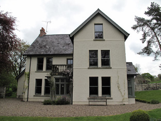 Millviewmill manager's house · 1.3 mi
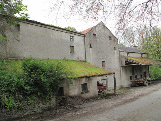 Historic buildingOfficially recorded historic building · 1.3 mi
 Jaundice WellSpring · 2.5 mi
 Common LimeCommon Lime · 3.2 mi
 KillycoonaghWood · 3.2 mi
 Saint John's WellSpring · 3.4 mi
 Tomb HillMountain / peak · 3.8 mi
 Dagda's CauldronHeritage attraction · 4.5 mi