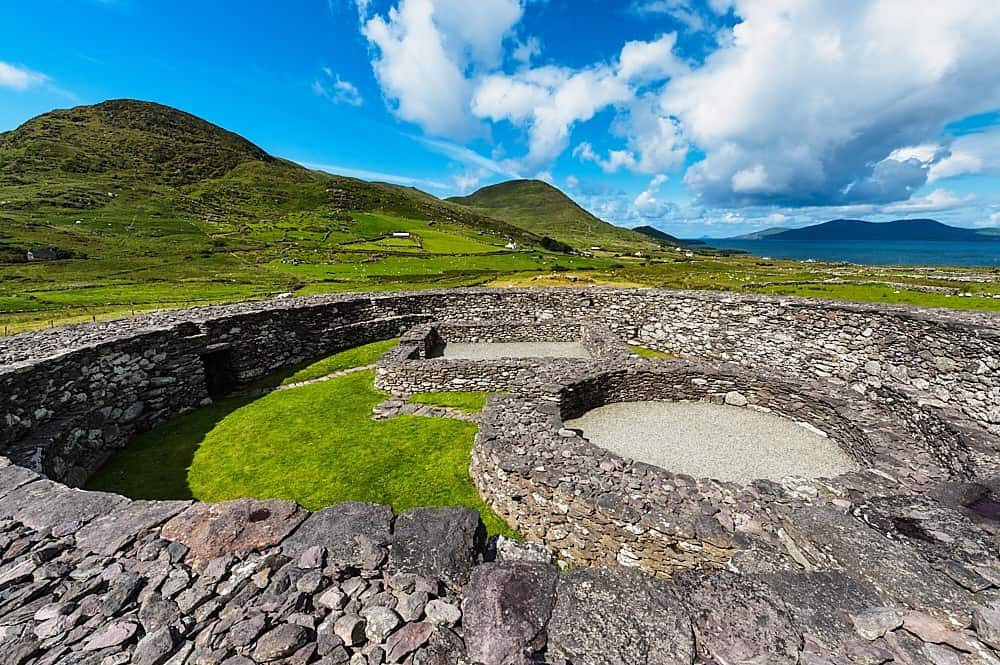
What is recorded here
Fairy fort in Lauragh Lower, County Kerry. A circular enclosure about twenty metres across on a rise near Kilmakilloge Harbour. Not visible at ground level now. The 1846 OS map marked it before pasture and forgetting took it back. Perhaps people lived there, loved there, argued there, and the earth kept the shape while the names left.
In undulating pasture, on a rise near the SE shore of Kilmakilloge Harbour. This possible rath is not visible at ground level. It is indicated as a circular enclosure (diam. c. 20m) on the 1846 OS 6-inch map.
The above description is derived from the published 'Archaeological Inventory of County Kerry. Volume I: South-West Kerry' (Dublin: Stationery Office, 2009). In certain instances the entries have been revised and updated in the light of recent research.
Date of upload: 30 May 2011
The monument record does not grant public access. Check the route and ask the landowner before entering private land.
- What survives
- Recorded monument
Places near here
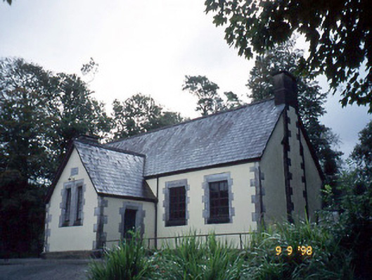 Lauragh National Schoolschool · 250 yd
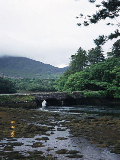 Cappul Bridgebridge · 343 yd
 Man-made underground passage in Lauragh UpperMan-made underground passage · 428 yd
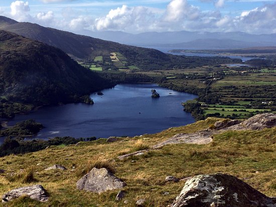 Man-made underground passage in Lauragh LowerMan-made underground passage · 555 yd
 New Zealand broadleafNew Zealand broadleaf · 874 yd
 Japanese cedarJapanese cedar · 916 yd
 KnockastumpaMountain / peak · 1.3 mi
 KnockateeMountain / peak · 1.5 mi
 Crane IslandIslet · 1.6 mi
 Duck RockIslet · 1.6 mi
 DroppaCliff · 3.6 mi
 Mare's Tail WaterfallViewpoint · 4.9 mi
Other information
Photo: Credit not shown in the picture search · Rights wording not checked; contact us if this picture should be removed