What is recorded here
In level pasture. A raised roughly oval area (25m NE-SW; 22m NW-SE) defined by a scarp (H 0.3-0.6m) with a shallow external fosse (Wth 2-4m; D 0.15-0.4m). The latter is not visible from WSW-SW-W where it is bordered by a modern NW-SE field boundary. The rath is divided into unequal portions by a NE-SW field bank and trench. The larger portion, to the SE, has been almost totally levelled. The original entrance is not recognisable.
Compiled by: Patrick F. O'Donovan
Date of upload: 26 August 2011
The monument record does not grant public access. Check the route and ask the landowner before entering private land.
- What survives
- Recorded monument
Places near here
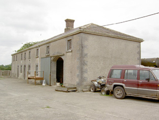 Lismoy Houseoutbuilding · 854 yd
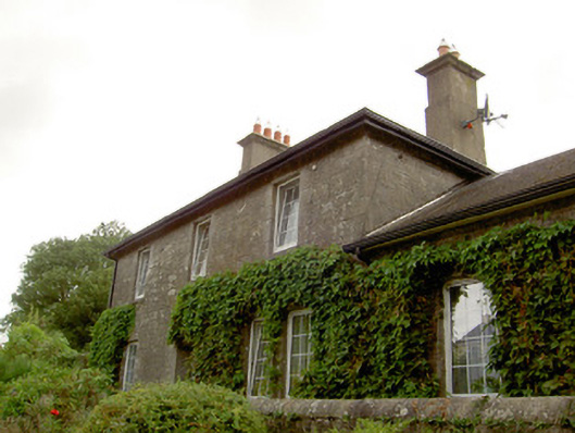 Newtown Forbes Railway Stationrailway station · 1402 yd
 IndicatedFairy fort / earthen ringfort · 1623 yd
 Enclosure in MinardEnclosure · 1679 yd
 Common LimeCommon Lime · 1.3 mi
 Pedunculate OakPedunculate Oak · 1.3 mi
 CastleforbesCastle · 1.6 mi
 Bawn in Castleforbes DemesneBawn · 1.6 mi
 Saint Mel's CathedralCathedral · 2.5 mi
 First World War MemorialMemorial · 2.6 mi
 Graveyard in Curry (ardagh By., Coolamber Ed)Graveyard · 5.1 mi
 Commons North WalkVisitor information · 9.7 mi