What is recorded here
Lackenduff holds a truncated fairy fort on a NNW-facing hillock, mapped in 1842 but erased from modern sight. The southern field fence cut the earthwork into a semicircle, suggesting human boundaries overlwrote older shapes. People may have pastured there, forgotten the ring, and rewritten the landscape without meaning harm.
In pasture, atop hillock on NNW-facing slope. Semicircular arc of enclosure, truncated by field fence to S, depicted on OS 6-inch map (1842). No visible surface trace.
The above description is derived from the published 'Archaeological Inventory of County Cork. Volume 1: West Cork' (Dublin: Stationery Office, 1992). In certain instances the entries have been revised and updated in the light of recent research.
Date of upload/revision: 14 January 2009
The monument record does not grant public access. Check the route and ask the landowner before entering private land.
- What survives
- Recorded monument
Places near here
 Prospect Hallhouse · 218 yd
 Ring Househouse · 562 yd
 Castle Arundel (Site of)Castle, unclassified · 783 yd
 Burial Ground for ChildrenBurial ground · 1019 yd
 Inchydoney & Coast ViewsViewpoint · 1364 yd
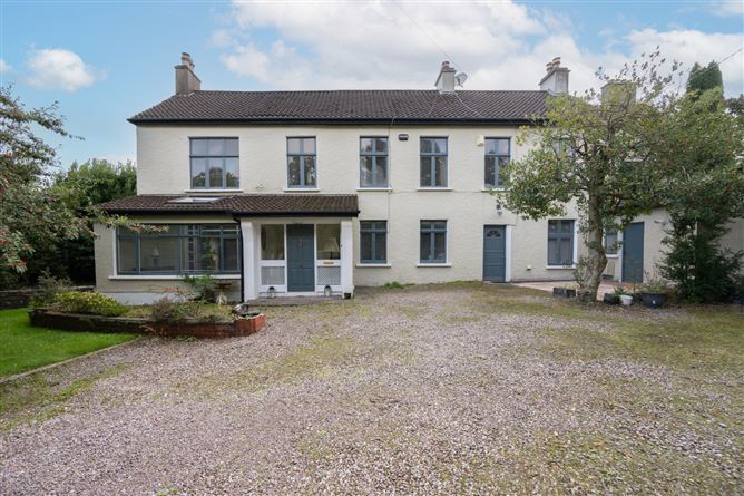 Enclosure in Ballintemple (ibane and Barryroe By.)Enclosure · 1385 yd
 Stoney Beach RingBeach / strand · 1410 yd
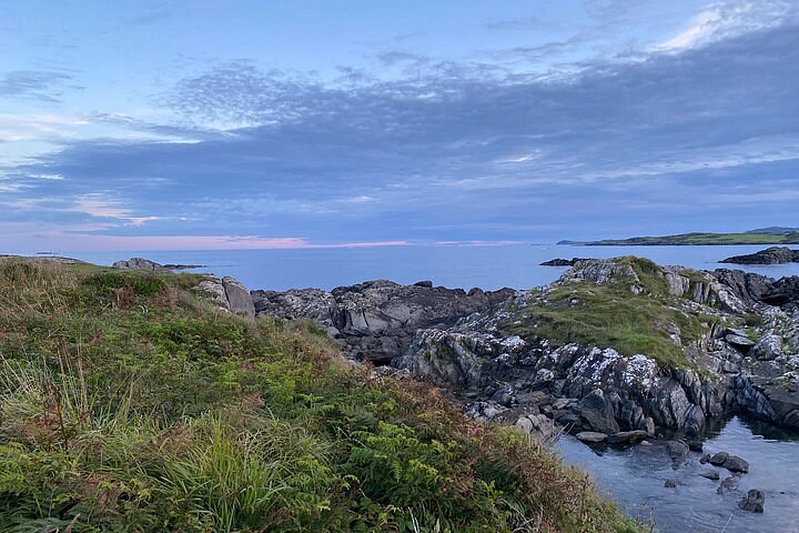 Interesting Cliffs RingCliff · 1431 yd
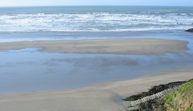 Inchydoney BeachBeach / strand · 1491 yd
 Coast ViewViewpoint · 1621 yd
 Clonakilty HarbourBay · 1.6 mi
 Castle (in Ruins)Castle, unclassified · 2.0 mi