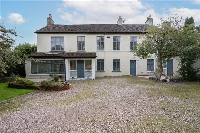
What is recorded here
In pasture on a S-facing slope in an area of undulating farmland. A small circular enclosure (diam. c. 15m) is visible as the cropmark of a fosse in an aerial photograph (CUCAP, AVL 49). The area indicated on the map is under long grass for silage and no archaeological features were noted at ground level.
The above description is derived from 'The Archaeological Inventory of County Cork. Volume 5' (Dublin: Stationery Office, 2009).
Date of upload: 22 December 2009
The monument record does not grant public access. Check the route and ask the landowner before entering private land.
- What survives
- Recorded monument
Places near here
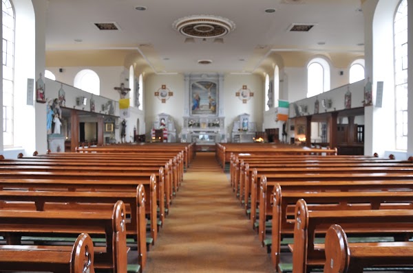 Ballintemple Church (in Ruins)Church · 199 yd
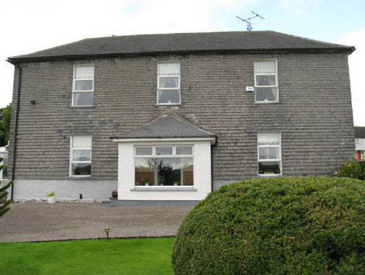 Arundel Millsmill manager's house · 810 yd
 Castle Arundel (Site of)Castle, unclassified · 1078 yd
 Lios na gCon Ring FortArchaeological place · 1479 yd
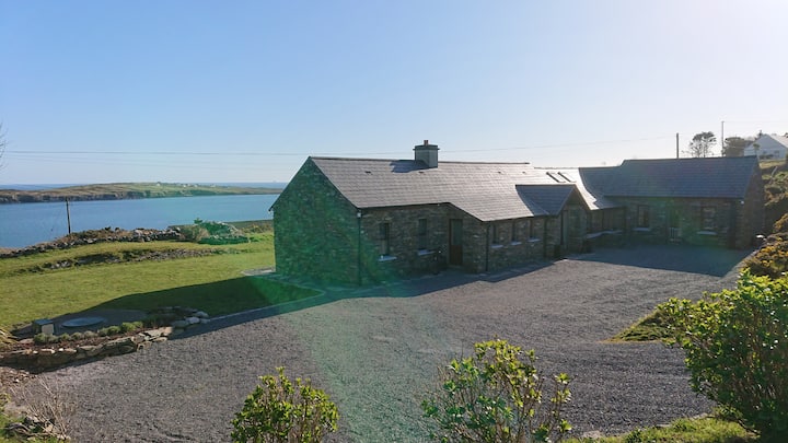 Hut site in Cahergal (ibane and Barryroe By., Templeomalus Par.)Hut site · 1725 yd
 Clonakilty HarbourBay · 1.4 mi
 Castle (Site of)Castle, unclassified · 1.5 mi
 Inchydoney & Coast ViewsViewpoint · 1.5 mi
 Stoney Beach RingBeach / strand · 1.5 mi
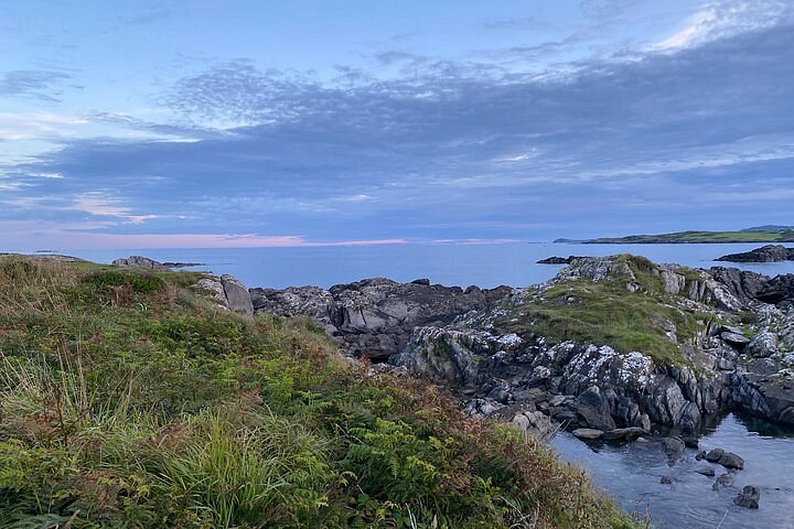 Interesting Cliffs RingCliff · 1.6 mi
 Coast ViewViewpoint · 1.7 mi
 West Cork Model Railway VillageHeritage attraction · 1.8 mi
Other information
Photo: Credit not shown in the picture search · Rights wording not checked; contact us if this picture should be removed