
What is recorded here
Cloghgriffin castle collapsed into a low mound at the north-east edge of its ringfort before the 1842 survey, leaving only a short mortared wall and scattered stones for the draughtsman to mark as ruins. That much is clear. The missing height and vanished rooms belong to the lives that filled them, perhaps a keeper, tenants or traders using the fort as a anchor on the Cork landscape. The mound still holds the shape of what the earth took back.
At NNE edge of ringfort (CO136-004001-). Shown on OS 6-inch map (1842) as 'in ruins'. Mound of earth and stones (H 1.5m; 15.3m E-W; 10.3m N-S) with remains of mortared stone wall (H 1.1m; 1.16m E-W; Wth 1m) at E end.
The above description is derived from the published 'Archaeological Inventory of County Cork. Volume 1: West Cork' (Dublin: Stationery Office, 1992). In certain instances the entries have been revised and updated in the light of recent research.
Date of upload/revision: 14 January 2009
The monument record does not grant public access. Check the route and ask the landowner before entering private land.
- What survives
- Recorded monument
Places near here
 Man-made underground passage in CloghgriffinMan-made underground passage · 410 yd
 Templequinlan Church (in Ruins)Church · 551 yd
 IndicatedFairy fort / earthen ringfort · 610 yd
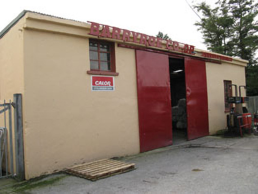 Barryroe Creamerycreamery · 957 yd
 Michael Collins CentreMuseum · 1.1 mi
 Ballinoroher CastleCastle · 1.6 mi
 Castle Arundel (Site of)Castle, unclassified · 2.1 mi
 Argdeen Valley TrailVisitor information · 2.2 mi
 Argideen Loop WalksVisitor information · 2.3 mi
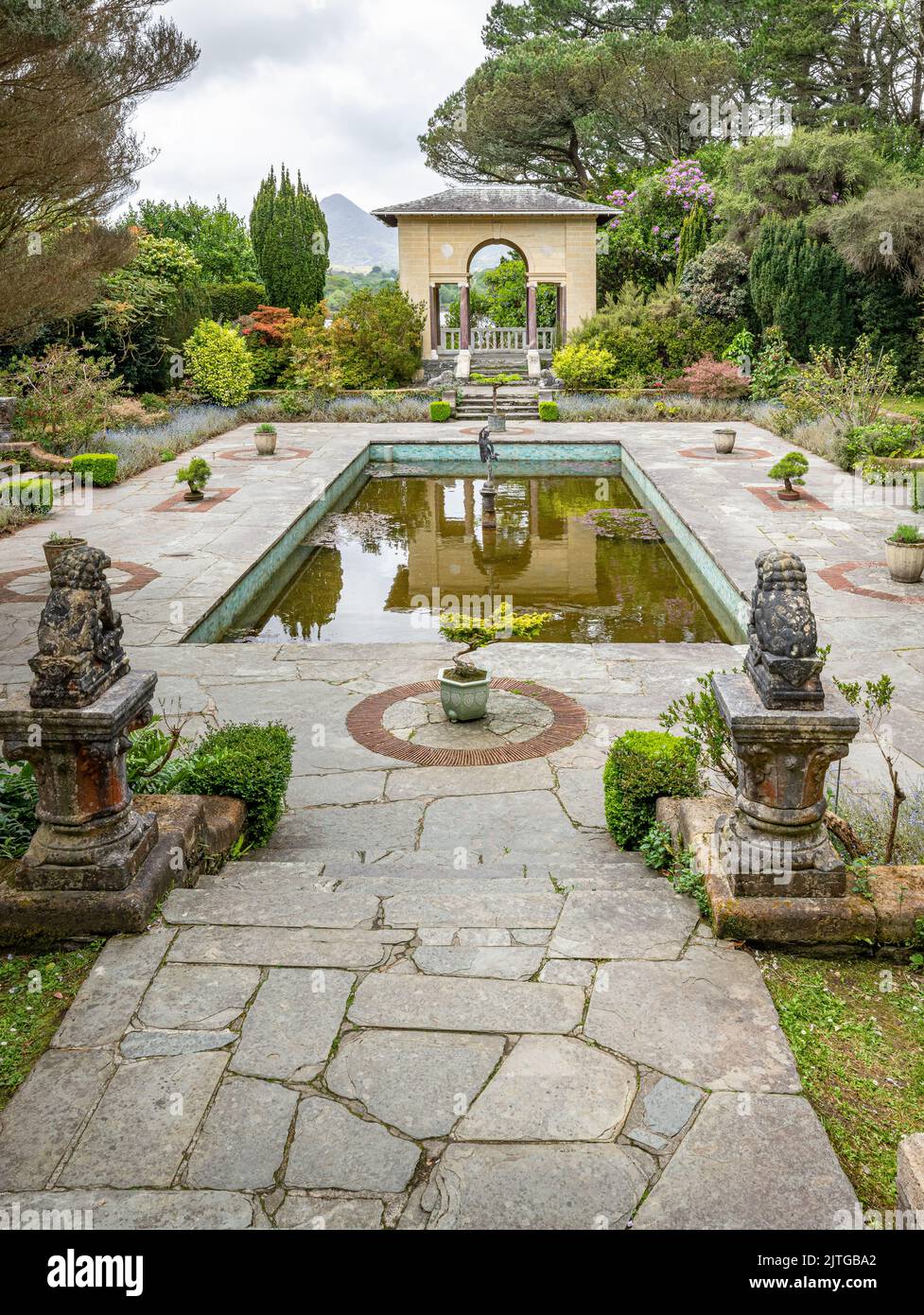 Garden WoodWood · 2.5 mi
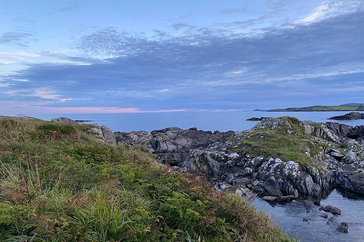 Interesting Cliffs RingCliff · 2.6 mi
 Graveyard in KilmalodaGraveyard · 2.8 mi
Other information
Photo: Credit not shown in the picture search · Rights wording not checked; contact us if this picture should be removed