What is recorded here
Knocknagapple holds a forty-metre circular enclosure on a north-facing slope, marked clearly on the 1842 map before pasture and ploughs softened its edges. Field fences still curve around the ghost of its line, suggesting people recognised the shape long after stone walls disappeared. The site may have served as a dwelling, a boundary marker or a place of ritual, but its exact purpose has faded with its visible form. What remains is a subtle rise in the earth, witnessed by the landscape rather than explained by it.
In pasture, on N-facing slope. Shown on 1842 OS 6-inch map as circular enclosure (diam. c. 40m); S->N trackway follows line of enclosure. Levelled; low raised area visible; field fences curve to respect site SW->NE.
The above description is derived from the published 'Archaeological Inventory of County Cork. Volume 2: East and South Cork' (Dublin: Stationery Office, 1994). In certain instances the entries have been revised and updated in the light of recent research.
Date of upload/revision: 14 January 2009
A fairy fort or earthen ringfort in Knocknagapple is a likely early-medieval circular enclosure, evidenced by its depiction on the 1842 Ordnance Survey map and surviving low earthworks. Local tradition associates such sites with fairy folklore, and the alignment of a trackway and field fences suggests historical respect for its significance.
The monument record does not grant public access. Check the route and ask the landowner before entering private land.
- What survives
- Recorded monument
Places near here
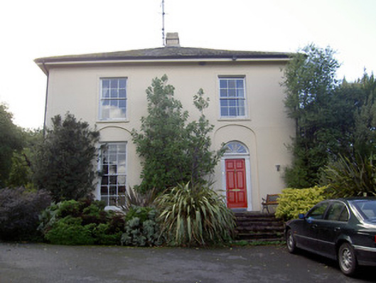 Brideweir Houserectory/glebe/vicarage/curate's house · 189 yd
 Aghern CastleCastle · 424 yd
 Country house in Aghern WestCountry house · 450 yd
 Aghern CemeteryWood · 721 yd
 St Bridgets WellHoly well · 923 yd
 Enclosure in Aghern EastEnclosure · 1080 yd
 Castle (in Ruins)Castle, tower house · 1516 yd
 Castlebrook forestWood · 2.5 mi
 Coole WellVisitor information · 2.6 mi
 Graveyard in Curraheen (kinnatalloon By.)Graveyard · 3.1 mi
 Life Space ParkPicnic place · 3.2 mi
 Graveyard in KillasseraghGraveyard · 3.5 mi