What is recorded here
On gradual W-facing slope in gently undulating terrain, under pasture. Ringfort has been levelled and is not visible at ground level. Monument (diam. 32m) was intact when visited in 1982, it was enclosed by a bank and outer fosse and was classified as a ringfort (Cahill 1982).
Compiled by: Jean Farrelly
Date of upload: 26 August 2011
The monument record does not grant public access. Check the route and ask the landowner before entering private land.
- What survives
- Recorded monument
Places near here
 Concentric enclosure in KnockkellyConcentric enclosure · 435 yd
 Enclosure in Knockkelly,higginstownEnclosure · 637 yd
 Peppardstown Househouse · 905 yd
 Knockkelly CastleCastle · 1195 yd
 Slainstown Castle (in ruins)Castle, tower house · 1283 yd
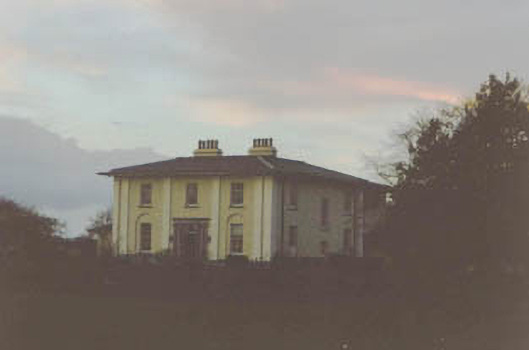 Coolmore Housecountry house · 1.2 mi
 Kilknockan HillMountain / peak · 1.7 mi
 East GateMemorial · 2.8 mi
 European YewEuropean Yew · 2.9 mi
 Eagle HillMountain / peak · 3.1 mi
 Grove WoodForest · 3.8 mi
 Gift Horse GalleryGallery · 9.1 mi