What is recorded here
On a SE-facing slope in gently undulating pasture. Circular area (diam. 41.5m N-S; E-W not obtainable due to heavy overgrowth in E quadrant) enclosed by an earthen and stone bank (Wth 2.1m crest, 6.5m base; int. H 1.5m; ext. H 1.85m) and external fosse (Wth 3.4m; D 0.7m). The bank is particularly high in NW quadrant with a substantial bank in the W, N and E. The bank in the S quadrant has been completely levelled and the fosse infilled, the field bank immediately S of this is still intact. Low bank in SE quadrant is heavily overgrown with nettles and brambles. Entrance (WTh 2m) in NW quadrant. The interior slopes slightly to SE and is nettle filled. Some mature trees are growning around the bank.
Compiled by: Jean Farrelly
Date of upload: 26 August 2011
The monument record does not grant public access. Check the route and ask the landowner before entering private land.
- What survives
- Recorded monument
Places near here
 Church (in Ruins)Church · 741 yd
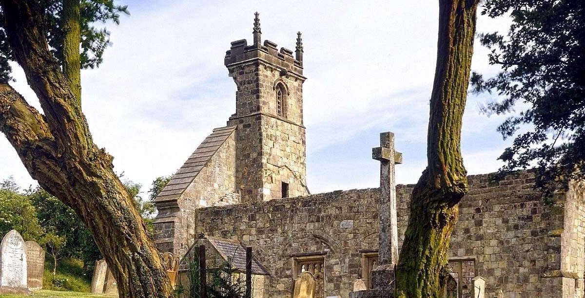 Settlement desertedSettlement deserted, medieval · 824 yd
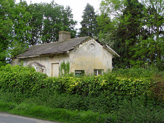 Knockeevan Housegate lodge · 901 yd
 CastleCastle, unclassified · 1098 yd
 Pedunculate OakPedunculate Oak · 1197 yd
 IndicatedFairy fort / earthen ringfort · 1737 yd
 Castle (in ruins)Castle, tower house · 1.4 mi
 Persian WalnutPersian Walnut · 2.4 mi
 East GateMemorial · 4.1 mi
 Francis HopkinsMemorial · 4.3 mi
 Main GuardHeritage attraction · 4.3 mi
 Merchant's HouseVisitor information · 4.4 mi