What is recorded here
Knockaunkeel holds a faded earthen ring on an east-facing slope, its two banks and central ditch barely visible beneath grass and forgotten boundaries. The northern gap may be original, inviting entry rather than blocking it, while a modern field line crosses the outer edge as if human habit continually reclaims the shape. Perhaps people once lived inside the circle, children running between the banks at dusk or adults debating whether the hollow belonged to humans or fairies. The fort no longer resists observation, but it still suggests a time when the land was divided into owned and unnamed spaces.
On E-facing slope of a gentle rise in otherwise low-lying grassland. Poorly preserved subcircular rath (E-W 41m, N-S 39m) defined by two banks and an intervening fosse. A scarp forms the inner enclosing element from ESE through S to SSW. A field boundary overlies the outer bank from W to NNW. Gap at N appears original.
The above description is derived from the published 'Archaeological Inventory of County Galway Vol. II - North Galway'. Compiled by Olive Alcock, Kathy de hÓra and Paul Gosling (Dublin: Stationery Office, 1999).
Date of upload: 05 August 2010
The monument record does not grant public access. Check the route and ask the landowner before entering private land.
- What survives
- Recorded monument
Places near here
 IndicatedEnclosure · 465 yd
 Enclosure in RusselstownEnclosure · 1076 yd
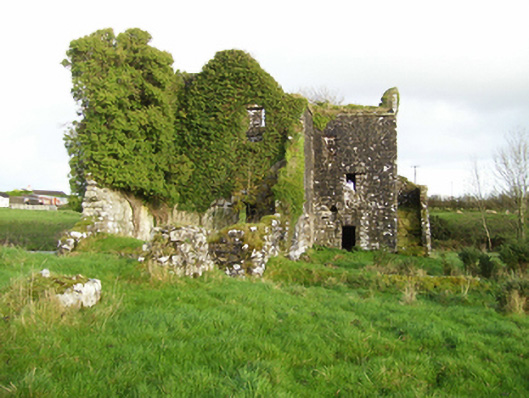 mill (water)mill (water) · 1674 yd
 Church in ConagherChurch · 1719 yd
 Bawn in Kilcloony (dunmore By.)Bawn · 2.3 mi
 Site of Doonbally CastleCastle, unclassified · 3.4 mi
 European ashEuropean ash · 6.0 mi
 Oak WoodForest · 6.2 mi
 Mass RockNamed rock · 7.3 mi
 CrossCross, Market cross · 1656 yd
 Enclosure in Dawros LowerEnclosure · 1.3 mi
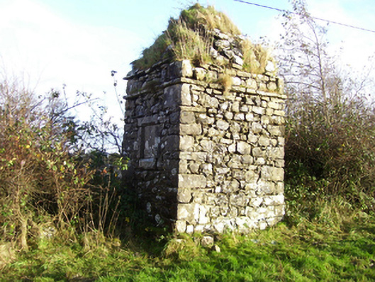 monumentmonument · 1.4 mi