
What is recorded here
On top of a hillock in undulating pastureland. Marked on 3rd ed. of OS 6-inch map (1932) as a circular enclosure (D c. 30m) cut by field banks at SW and NW. No visible surface trace survives.
The above description is derived from the published 'Archaeological Inventory of County Galway Vol. II - North Galway'. Compiled by Olive Alcock, Kathy de hÓra and Paul Gosling (Dublin: Stationery Office, 1999).
Date of upload: 05 August 2010
A local fairy fort (ringfort/rath); wider significance not recorded.
The monument record does not grant public access. Check the route and ask the landowner before entering private land.
- What survives
- Recorded monument
Places near here
 IndicatedEnclosure · 746 yd
 Enclosure in Dawros LowerEnclosure · 1460 yd
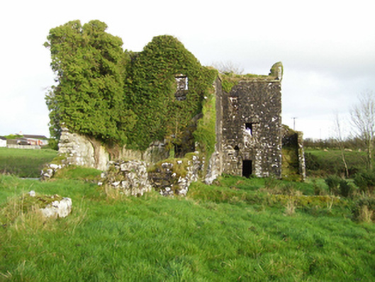 mill (water)mill (water) · 1500 yd
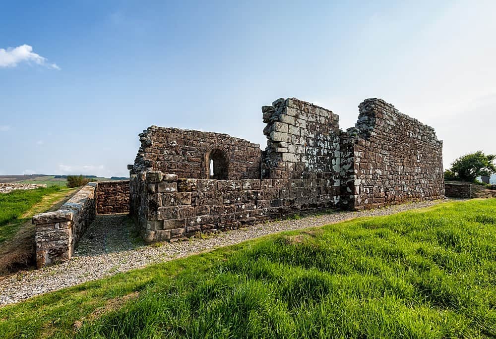 R.C. ChapelChurch · 1.3 mi
 Bawn in Kilcloony (dunmore By.)Bawn · 1.7 mi
 Site of Doonbally CastleCastle, unclassified · 2.9 mi
 European ashEuropean ash · 5.4 mi
 Oak WoodForest · 6.6 mi
 Mass RockNamed rock · 6.7 mi
 Otter IslandIslet · 18 mi
 Inis Mhic an TrírIsland · 18 mi
 Milltown Bridgebridge · 1.3 mi
Other information
Photo: Credit not shown in the picture search · Rights wording not checked; contact us if this picture should be removed