
What is recorded here
In pastureland. The outline of a subcircular enclosure (c. 40m NE-SW; c. 36m NW-SE) is visible on Google Earth aerial imagery dated March 2016. It is clipped by a NNE-SSW running drain at NW. The drain feeds into a stream to the SSW. Identified and reported by Jean-Charles Caillère.
The following image has been uploaded: GA017- 166----_01.jpg Google Earth image (March 2016)
Compiled by: Olive Alcock
Date of upload: 19 July 2022
A local fairy fort (ringfort/rath); wider significance not recorded.
The monument record does not grant public access. Check the route and ask the landowner before entering private land.
- What survives
- Recorded monument
Places near here
 IndicatedHouse, indeterminate date · 596 yd
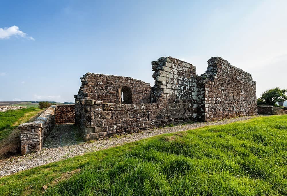 R.C. ChapelChurch · 1245 yd
 Enclosure in RusselstownEnclosure · 1460 yd
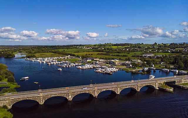 Banagher FortFairy fort / earthen ringfort · 1492 yd
 Bawn in Kilcloony (dunmore By.)Bawn · 1.2 mi
 Fartamore Castle (ruins)Castle · 2.6 mi
 European ashEuropean ash · 4.7 mi
 Mass RockNamed rock · 6.0 mi
 KnockmaaWood · 9.4 mi
 Otter IslandIslet · 17 mi
 Inis Mhic an TrírIsland · 17 mi
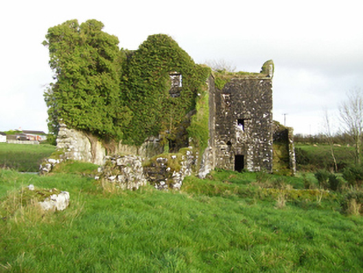 mill (water)mill (water) · 1328 yd
Other information
Photo: Credit not shown in the picture search · Rights wording not checked; contact us if this picture should be removed