What is recorded here
Knockacraig held a true ringfort, not a fairy tale, until ploughs and patience erased most of it. The 1924 map still draws the circular embankment, but the pasture now keeps only a faint dip, wide enough to mark the vanished edge. What looked like fantasy in the name may have been ordinary human residence, forgotten after repeated use. The field boundary beside the dip preserves more of the shape than memory does.
In level pasture. Monument, depicted as embanked circular enclosure (diam. c. 25m) on 1924 OS 6-inch map, has been levelled. However, site is still discernible as faint dip (D c. 0.15m; Wth 1.3m) defining circular area (diam. 34.5m). A field boundary runs outside dip NE-SE.
Compiled by: Denis Power
Date of upload: 26 August 2011
The monument record does not grant public access. Check the route and ask the landowner before entering private land.
- What survives
- Recorded monument
Places near here
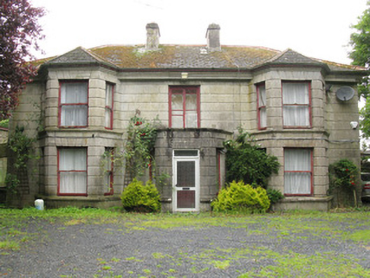 Woodfield Househouse · 1043 yd
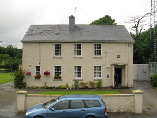 Dromcolliher Garda Síochána Stationhouse · 1205 yd
 DromcolliherSettlement cluster · 1406 yd
 National Co-op MuseumMuseum · 1582 yd
 Enclosure in BallinlongigEnclosure · 1754 yd
 Castle (in ruins), Springfield CastleCastle, tower house · 1.6 mi
 ToberacappeenSpring · 1.9 mi
 CastleCastle, unclassified · 1.9 mi
 ToberhoranSpring · 3.2 mi
 Mullaghareirk - Banane LoopWalking route · 5.5 mi
 Ballagh MountainMountain / peak · 6.7 mi
 Stanner's Glen, Priory WoodWood · 7.7 mi