What is recorded here
Kiltullagh North holds an almost circular earthen ringfort, twenty-nine metres wide, on a rise above rolling Galway grassland. Its bank and external fosse still trace a complete circle, though modern gaps have opened the rim. The shape suggests people once valued a defensible home large enough for several lives, not a temporary camp.
On a rise in rolling grassland. An almost circular rath (29m E-W; 28m N-S), in fair condition, defined by a bank and external fosse; the latter is visible from W through N to NE. Numerous gaps in the bank appear to be modern.
Compiled by: Galway Archaeological Survey, UCG
Date of upload: 9 January 2018
The monument record does not grant public access. Check the route and ask the landowner before entering private land.
- What survives
- Recorded monument
Places near here
 IndicatedHoly well · 379 yd
 Font in Kiltullagh NorthFont · 471 yd
 Kiltullagh Housecountry house · 489 yd
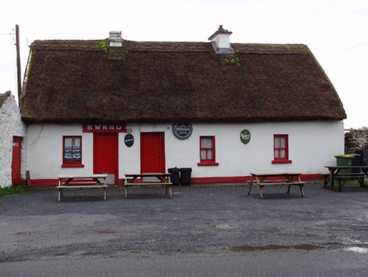 B. Wardhouse · 954 yd
 Castle (in ruins)Castle, tower house · 1.3 mi
 MoteCastle, motte and bailey · 1.6 mi
 Moyard WoodWood · 2.9 mi
 Turoe StoneHeritage attraction · 4.0 mi
 Athenry AbbeyHeritage attraction · 4.2 mi
 Horse-chestnutHorse-chestnut · 4.5 mi
 First Battle of Athenrybattle · 4.7 mi
 Barrack IslandIslet · 6.6 mi