What is recorded here
Kilnacranfy holds a broad earthen ring where a forgotten household likely lived before becoming a fairy fort in local memory. The bank still circles the grass, though erosion has opened the south-west edge and the entrance has vanished. People may have built the ridge for defense or simply to claim the best view above the small stream. Either way, the field preserved the shape of human choice long after the names and tools disappeared.
Situated on a rise at the bottom of the SW-facing slope of a ridge with a small NW-SE stream c. 25m to the SW. This is a circular grass-covered area (diam. 38m NE-SW: 37m NW-SE) defined by an earthen bank (Wth 4-6.5m; int. H 0.2-0.4m; ext. H 1.5-2m) and hedge which has been eroded away S-SW, with an outer fosse (Wth of top 6.6m; Wth of base 1.6-2.5m; ext. D 0.7-1m) NNW-SE and traces of an outer bank (at NNE: Wth 3.8m; ext. H 0.5m) NNW-ENE. The original entrance is not identified.
The above description is derived from the published 'Archaeological Inventory of County Monaghan' (Dublin: Stationery Office, 1986). In certain instances the entries have been revised and updated in the light of recent research.
Date of revision: 6 December 2017
The monument record does not grant public access. Check the route and ask the landowner before entering private land.
- What survives
- Recorded monument
Places near here
 Enclosure in Lisnamoyle EtraEnclosure · 473 yd
 Mass-rock in Lisnamoyle OtraMass-rock · 942 yd
 Old Church (ruin)Church · 1.0 mi
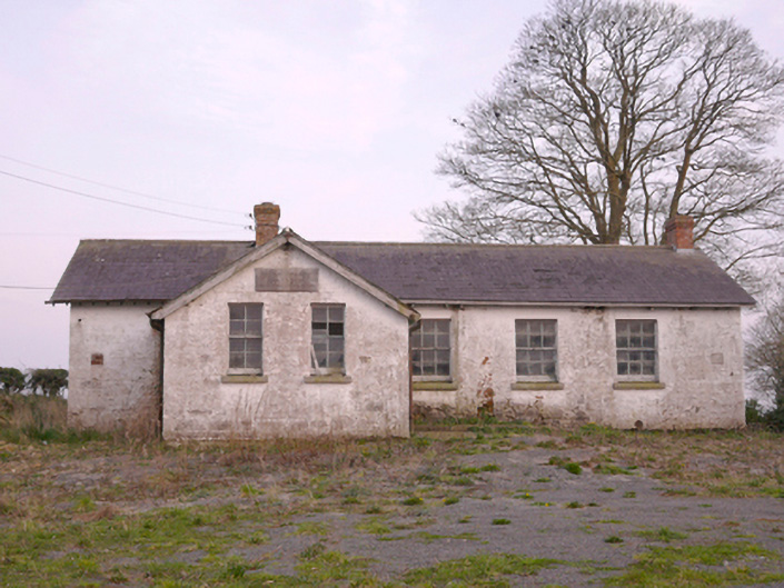 Scoil Náisiúnta Chorr Fuinnseogachschool · 1.2 mi
 KnockreaghMountain / peak · 1.8 mi
 Mannan Castle (in ruins)Castle, Anglo-Norman masonry castle · 2.2 mi
 TobernagalliaghSpring · 2.5 mi
 Fincarn HillMountain / peak · 3.8 mi
 Whites IslandIslet · 4.4 mi
 Battle of Newry Roadbattle · 4.6 mi
 Horse-chestnutHorse-chestnut · 4.7 mi
 Gully IslandIslet · 5.0 mi