
What is recorded here
Located in a slight col with slightly higher ground to the NW and SE and lower ground to the NE and SW. This is a subcircular grass-covered area (dims 66m NW-SE; 60.6m NE-SW) that slopes down to the SE. It is defined by an earthen bank (at W: Wth of base 4m; Wth of top 1.8m; int. H 0.9m; ext. H 1.5m) W-NE, which has disappeared elsewhere with a fosse (at W: Wth of top c. 3m; Wth of base 0.45m) WSW-N-ESE and an outer bank (at W: of base c. 5m; Wth of top 2.45m; int. H 1.7m; ext. H 1.2m) WSW-NW, which is incorporated into a field bank NW-ESE. There is an entrance gap (Wth 2.5m) in the inner scarp at SE, but there is no evidence of any internal features. The banks had some bushes in 1967 but these had been removed by 1995 (OSAP), and the monument appears to have been removed apart from the perimeter incorporated into the field bank NW-E.
The above description is derived from the published 'Archaeological Inventory of County Monaghan' (Dublin: Stationery Office, 1986). In certain instances the entries have been revised and updated in the light of recent research.
Date of revision: 6 December 2017
A local fairy fort (ringfort/rath); wider significance not recorded.
The monument record does not grant public access. Check the route and ask the landowner before entering private land.
- What survives
- Recorded monument
Places near here
 Mass-rock in Lisnamoyle OtraMass-rock · 821 yd
 IndicatedCrannog · 1476 yd
 Old Church (ruin)Church · 1.1 mi
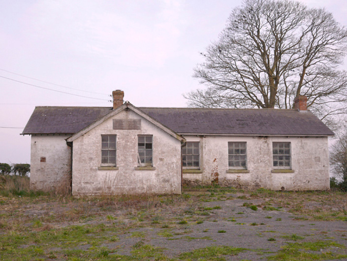 Scoil Náisiúnta Chorr Fuinnseogachschool · 1.5 mi
 Mannan Castle (in ruins)Castle, Anglo-Norman masonry castle · 2.0 mi
 KnockreaghMountain / peak · 2.1 mi
 TobernagalliaghSpring · 2.4 mi
 Fincarn HillMountain / peak · 4.0 mi
 Horse-chestnutHorse-chestnut · 4.5 mi
 Whites IslandIslet · 4.7 mi
 Battle of Newry Roadbattle · 4.8 mi
 Gully IslandIslet · 5.1 mi
Other information
Photo: Credit not shown in the picture search · Rights wording not checked; contact us if this picture should be removed