
What is recorded here
Indicated is a lost crannog buried beneath the marsh that replaced Attaduff Lough. A survey drawn in 1834 still showed its small oval shape floating in open water, but the lake has since choked with reeds and forgotten the boundary between land and sky. Whatever life moved across that water has vanished without a trace, leaving only a hidden shape beneath the rot.
Located in an overgrown marsh that was once Attaduff Lough, a subrectangular lake (original dims c. 350m N-S; c. 340m E-W). A small oval feature (dims c. 40m NE-SW; c. 15m NW-SE) is depicted in the lake on the 1834 edition of the OS 6-inch map. It is inaccessible.
The above description is derived from the published 'Archaeological Inventory of County Monaghan' (Dublin: Stationery Office, 1986). In certain instances the entries have been revised and updated in the light of recent research.
Date of revision: 8 December 2017
The monument record does not grant public access. Check the route and ask the landowner before entering private land.
- What survives
- Recorded monument
Places near here
 Enclosure in Lisnamoyle EtraEnclosure · 1476 yd
 Mass-rock in Lisnamoyle OtraMass-rock · 1533 yd
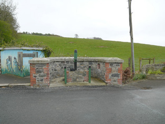 water pumpwater pump · 1712 yd
 Donaghmoyne Post Officehouse · 1730 yd
 Mannan Castle (in ruins)Castle, Anglo-Norman masonry castle · 1.5 mi
 TobernagalliaghSpring · 2.4 mi
 KnockreaghMountain / peak · 2.9 mi
 Horse-chestnutHorse-chestnut · 3.9 mi
 European BeechEuropean Beech · 4.6 mi
 Fincarn HillMountain / peak · 4.6 mi
 Battle of Newry Roadbattle · 5.4 mi
 Gully IslandIslet · 5.6 mi
Other information
Photo: Credit not shown in the picture search · Rights wording not checked; contact us if this picture should be removed