
What is recorded here
Situated on the floor of the valley of a NNW-SSE stream, which is c. 75m to the NE, and on the E edge of an area of scrub-covered rock outcrop (max. H c. 2m). The rock (dims 0.8-1.35m NW-SE; 0.8m NE-SW) which is known as Carraig an Aifrinn – the rock of the Mass - faces SW (H 0.45-0.8m), but the top now slopes down to the NE where it is engulfed by a whitethorn tree. (Ó Gallachair 1957, 115)
See the attached images taken from the SW (_1) and S (_2)
Compiled by: Michael Moore
Date of upload; 3 November, 2016
A local holy well or ritual site; wider significance not recorded.
The monument record does not grant public access. Check the route and ask the landowner before entering private land.
- What survives
- Recorded monument
Places near here
 Enclosure in Lisnamoyle EtraEnclosure · 821 yd
 Old Church (ruin)Church · 1205 yd
 IndicatedCrannog · 1533 yd
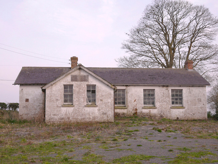 Scoil Náisiúnta Chorr Fuinnseogachschool · 1.4 mi
 KnockreaghMountain / peak · 2.2 mi
 Mannan Castle (in ruins)Castle, Anglo-Norman masonry castle · 2.3 mi
 TobernagalliaghSpring · 2.9 mi
 Fincarn HillMountain / peak · 4.3 mi
 Battle of Newry Roadbattle · 4.6 mi
 Horse-chestnutHorse-chestnut · 4.7 mi
 Whites IslandIslet · 4.8 mi
 MEDIEVAL & POST-MED. CHURCH & GRAVEYARD in Creggan Bane GlebeMEDIEVAL & POST-MED. CHURCH & GRAVEYARD · 4.9 mi
Other information
Photo: Credit not shown in the picture search · Rights wording not checked; contact us if this picture should be removed