What is recorded here
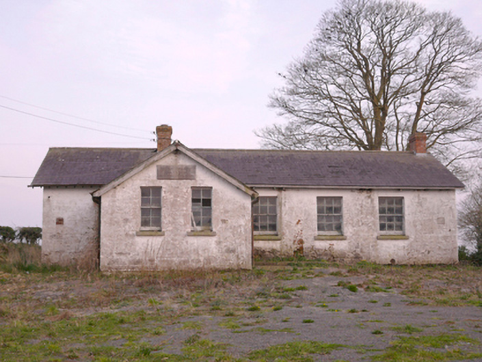
Detached five-bay single-storey national school, built c.1930, with two-bay projecting gabled porch to front (north-west) elevation. Now disused. Pitched slate roof with red brick chimneystacks, bracketed eaves and cast-iron rainwater goods. Painted coursed rubble stone walls with plaque to porch inscribed: "Scoil Chorr Fuinnseogach Scoil Náisiúnta ASHBURTON NATIONAL SCHOOL". Square-headed window openings with granite sills and timber sliding sash windows having six-over-six panes to front and rear elevations, four-over-four to porch, and six-over-nine to north-east gable. Square-headed door opening to south-west elevation of porch with timber battened door. Set back from road having gravel yard and recent timber fence to front (north-west) boundary. Located at crossroads with handball alley to south.
This is a well-proportioned single-classroom school typical of the Board of Works school building programme in the early twentieth century. It appears to have replaced an earlier nineteenth-century two-room school on the site. Although currently vacant, many early features including the timber sash windows remain. Slightly elevated and located at a busy crossroads adjacent to the handball alley and opposite the former barracks, Ashburton School lies at the heart of this rural community and played a very important social role in the area.
This does not grant access. Most recorded buildings are privately owned; view them only from public ground unless the owner allows entry.
Places near here
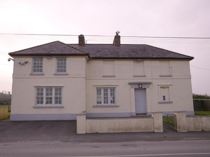 Corrinshigagh Garda Síochána Stationgarda station/constabulary barracks · 91 yd
 Culloville Bridgebridge · 533 yd
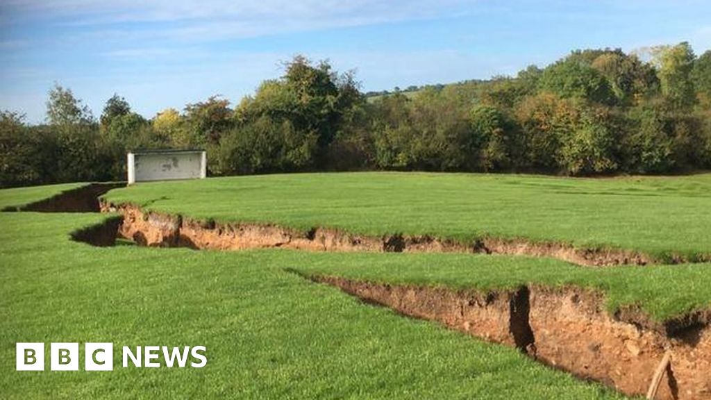 Man-made underground passage in CorcullioncrewMan-made underground passage · 842 yd
 IndicatedFairy fort / earthen ringfort · 907 yd
 KnockreaghMountain / peak · 1.2 mi
 Mannan Castle (in ruins)Castle, Anglo-Norman masonry castle · 3.4 mi
 Battle of Newry Roadbattle · 3.4 mi
 TobernagalliaghSpring · 3.6 mi
 Whites IslandIslet · 3.6 mi
 The Black Castle Chambered GraveArchaeological place · 3.8 mi
 Fincarn HillMountain / peak · 3.8 mi
 MEDIEVAL & POST-MED. CHURCH & GRAVEYARD in Creggan Bane GlebeMEDIEVAL & POST-MED. CHURCH & GRAVEYARD · 3.9 mi
Other information
Photo: National Inventory of Architectural Heritage · Website use allowed for educational or private purposes with source credit