What is recorded here
Kilmore is a circular earthen fort with a steep scarped edge and shallow outer ditch, preserved best from the northwest to the east and visible beneath pasture. It is the kind of place people once shaped for shelter, status or defiance, and later handed to fairy belief because its purpose became hard to picture. The land kept the shape while memory thinned, turning a made fort into a fairy fort and inviting wonder where certainty failed.
In pasture, on gently undulating terrain. Circular area (18m N-S; 18m E-W) defined by scarped edge (H 1.7m; Wth 6m) with external fosse (D 0.45m; Wth 3.2m). Scarp best preserved NW->E, dips slightly at SSE (Wth 0.75m). Fosse is best preserved N->ENE. Interior, under pasture, slopes down gentle to S.
Compiled by: Denis Power
Date of upload: 26 August 2011
The monument record does not grant public access. Check the route and ask the landowner before entering private land.
- What survives
- Recorded monument
Places near here
 Mound in KilmoreMound · 248 yd
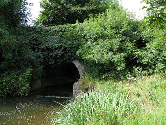 bridgebridge · 408 yd
 Kilmore Housecountry house · 680 yd
 Enclosure in KilmoreEnclosure · 915 yd
 Castle (in ruins)Castle, unclassified · 1.3 mi
 CastleCastle, unclassified · 2.9 mi
 KnockfeerinaMountain / peak · 3.2 mi
 European ashEuropean ash · 3.4 mi
 Kinnoor WellSpring · 3.6 mi
 Famine stoneMemorial · 3.8 mi
 Biodiversity in the Maigue CatchmentVisitor information · 3.8 mi
 Dysert AenghusaHeritage attraction · 3.8 mi