What is recorded here
Kilmona held a twenty-five-metre earthen ring on a west-facing slope before ploughs and feet erased it. The 1842 survey still caught its circular shadow, proving the land remembered a boundary people no longer see. That disappearance is not a loss but a transformation. The clay released its shape to become soil, and the fort stopped being a wall while continuing to feed the pasture.
Shown on 1842 OS 6-inch map as hachured circular enclosure (diam. c. 25m). In pasture, on W-facing slope. Levelled; no visible surface trace.
The above description is derived from the published 'Archaeological Inventory of County Cork. Volume 3: Mid Cork' (Dublin: Stationery Office, 1997). In certain instances the entries have been revised and updated in the light of recent research.
Date of upload/revision: 14 January 2009
The monument record does not grant public access. Check the route and ask the landowner before entering private land.
- What survives
- Recorded monument
Places near here
 Pairc Ath Na hEornaMemorial · 848 yd
 Glamcam BrBridge · 938 yd
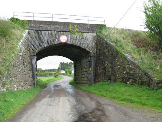 bridgebridge · 1215 yd
 Graveyard in KilmonaGraveyard · 1322 yd
 IndicatedFairy fort / earthen ringfort · 1729 yd
 Megalithic tomb in GlancamMegalithic tomb · 1.2 mi
 Garrycloyne Castle (in Ruins)Castle, tower house · 1.6 mi
 Castle (Site of)Castle, unclassified · 1.6 mi
 BatsVisitor information · 3.2 mi
 Waterloo Loop WalkWalking route · 3.4 mi
 River Martin Mill & WeirVisitor information · 3.4 mi
 Rock HillMountain / peak · 3.6 mi