What is recorded here
In tillage, on NW-facing slope. Depicted as hachured circular enclosure (diam. c. 25m) on 1842 and 1904 OS 6-inch maps. Arc (C 18.6m) formed by earthen bank (H 1.1m) with shallow external fosse (D 0.3m) survives to N; incorporated into field fence system. Ringfort (CO051-150----) lies c. 100m to E in adjoining field.
From the National Monuments Service (Archaeological Survey of Ireland) record CO051-149
The monument record does not grant public access. Check the route and ask the landowner before entering private land.
- What survives
- Recorded monument
Places near here
Graveyard in KilmonaGraveyard · 688 ydFulacht fia in Dromgarriff NorthFulacht fia · 748 yd bridge1.2 miMegalithic tomb in GlancamMegalithic tomb · 1.3 miBallynaraha HouseHouse · 1.7 miGuard TowerHeritage attraction · 4.4 miEuropean Yew4.4 miBlarney CastleHeritage attraction · 4.4 miBlarney Castle (in Ruins)Castle, tower house · 4.4 miWestern Redcedar4.4 miBlarney HouseCastle · 4.6 miDelaney Brothers MonumentMemorial · 6.1 mi
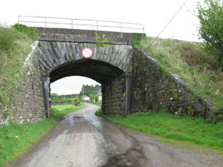 bridge1.2 miMegalithic tomb in GlancamMegalithic tomb · 1.3 mi
 Ballynaraha HouseHouse · 1.7 mi
 Guard TowerHeritage attraction · 4.4 mi
 European Yew4.4 mi
 Blarney CastleHeritage attraction · 4.4 mi
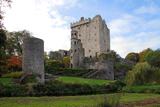 Blarney Castle (in Ruins)Castle, tower house · 4.4 mi
 Western Redcedar4.4 mi
 Blarney HouseCastle · 4.6 mi
 Delaney Brothers MonumentMemorial · 6.1 mi
Pictures: National Inventory of Architectural Heritage; Joseph Mischyshyn, Wikimedia Commons · CC BY-SA 2.0; Sitomon, Wikimedia Commons · CC BY-SA 2.0; Daniel J Hastings, Wikimedia Commons · CC BY-SA 4.0; Gerd Eichmann, Wikimedia Commons · CC BY-SA 4.0; abdallahh from Montréal, Canada, Wikimedia Commons · CC BY 2.0; Anna Maria 4574, Wikimedia Commons · CC BY-SA 4.0; Michael O'Sheil, Wikimedia Commons · CC BY-SA 4.0
More archaeology and monuments in County Cork · All of County Cork
What do you know about this place?