What is recorded here
Fairy forts hide in plain sight, wearing grass and forgetting their own shape until someone stops walking. Killeline is one of them: a shallow circular scarped edge, barely half a metre high and six metres wide, most visible from the northwest to the east and almost gone elsewhere. It sits on a slight north-facing slope in golf-course grounds, with a field drain passing eight metres to the east and the old southern boundary already removed. People may have lived there, or excluded others, or simply marked a place the land still remembers.
In grounds of golf course, on slight N-facing slope. Roughly circular area (25.8m N-S; 27m E-W) defined by a scarped edge (H 0.5m; Wth 6m) which is most prominent NW->E but barely evident E->NW. Interior slopes slightly down to N and is under grass. A field drain skirts enclosure 8m to E. A field boundary which lay short distance S of enclosure has been removed.
Compiled by: Denis Power
Date of upload: 26 August 2011
This remains an important historical record, but the official description says the monument is no longer visible or has been destroyed. The monument record does not grant public access. Check the route and ask the landowner before entering private land.
- What survives
- No visible remains or recorded as destroyed
Places near here
 Enclosure in KillelineEnclosure · 580 yd
 Killeline Housecountry house · 604 yd
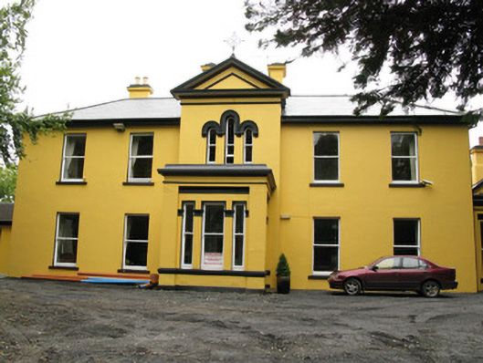 Beechwood Housepresbytery/parochial/curate's house · 767 yd
 EnclosureEnclosure, large enclosure · 1236 yd
 Templars Castle (in ruins)Castle, Anglo-Norman masonry castle · 1273 yd
 Castle MahonCastle · 2.2 mi
 Limerick GreenwayWalking route · 4.0 mi
 Saint Ite's WellSpring · 4.2 mi
 St. Luke's WellSpring · 4.7 mi
 Sugar HillMountain / peak · 4.9 mi
 European ashEuropean ash · 5.0 mi
 Ballagh MountainMountain / peak · 5.4 mi