What is recorded here
Situated on a rock outcrop, on S-facing slope, in gently undulating pasture, with wide views to E, S and W. Monument described in 1971 as an unusually large, roughly circular-shaped area (diam. 54m) enclosed by a bank with wide deep external fosse. The bank of earth and stone is high and steep on the exterior although it is almost reduced to a scarp. It is denuded in several places by cattle. There are traces of a very slight outer bank visible from SSW-W-NW. The interior rises gradually from the perimeter towards the centre and is divided in two almost equal parts by a post-1700 field fence running generally NW-SE.
Compiled by Alison McQueen, Vera Rahilly and Caimin O’Brien.
Date of upload: 28 August 2019
The monument record does not grant public access. Check the route and ask the landowner before entering private land.
- What survives
- Recorded monument
Places near here
 Partially hachuredEnclosure · 300 yd
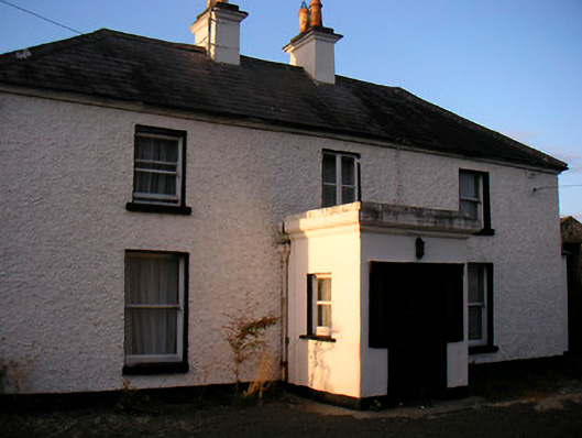 Killaroo Househouse · 642 yd
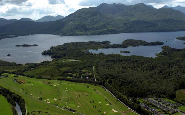 OutlinedFairy fort / earthen ringfort · 937 yd
 Stremmingstown CastleCastle · 1148 yd
 Killeenbrack CastleCastle · 1347 yd
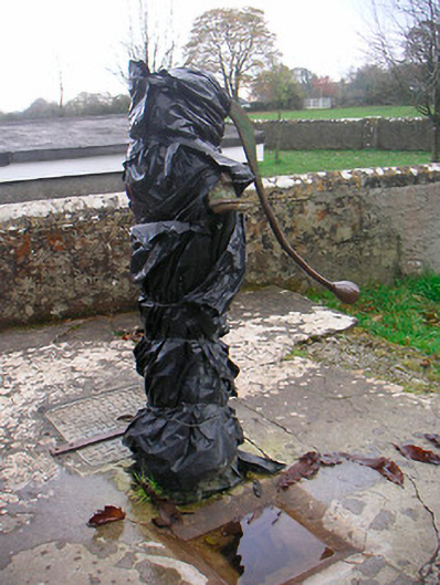 water pumpwater pump · 1348 yd
 Sam's ParkForest · 1.0 mi
 European ashEuropean ash · 1.5 mi
 Hill of UisneachMountain / peak · 1.9 mi
 KnockastiaMountain / peak · 2.8 mi
 Dún na Sí Heritage CentreMuseum · 7.9 mi
 Guest ServicesVisitor information · 8.5 mi