What is recorded here
Located on a slight rise on the flood-plain of the Bonet River, with a N-S section of the stream c. 250m from the E and an E-W section c. 200m to the S. This is an overgrown circular area (diam. 24.5m E-W) defined by an earthen bank (at W: Wth 2.5m; int. H 0.2-0.4m; ext. H 1m) SE-W-NE, and slight traces of an external fosse (Wth 4m). Two outer bands of thin vegetation on slight rises (Wth of each c. 5m) with an intervening band of rushes (Wth 3-4.5m) are the only indications of the two outer enclosing elements (max. ext. diam. c. 60m) visible on aerial photographs (GSIAP: G 348-7) of a trivallate rath. The original entrance is not identified.
The above description is derived from 'The Archaeological Inventory of County Leitrim' compiled by Michael J. Moore (Dublin: Stationery Office, 2003). In certain instances the entries have been revised and updated in the light of recent research.
Date of upload: 23 September 2008
The monument record does not grant public access. Check the route and ask the landowner before entering private land.
- What survives
- Recorded monument
Places near here
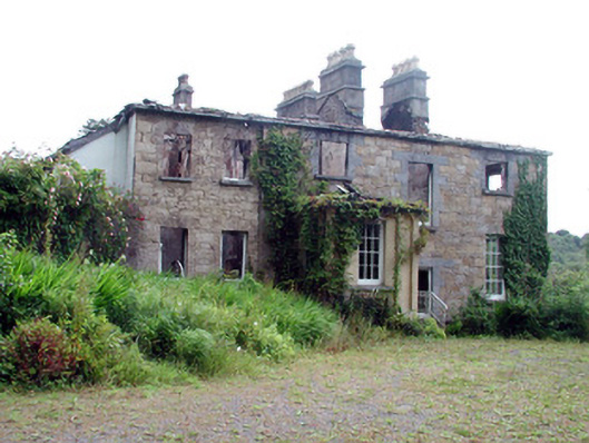 Drumlease Glebe Houserectory/glebe/vicarage/curate's house · 593 yd
 IndicatedFairy fort / earthen ringfort · 738 yd
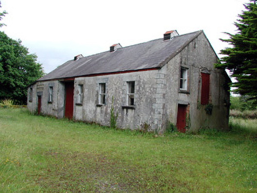 Dromahair Creamerycreamery · 975 yd
 Not indictedSweathouse · 1042 yd
 Old HallCastle, hall-house · 1.2 mi
 Green IslandIslet · 1.5 mi
 Doonbran Isd.Bawn · 2.6 mi
 Cullentra ForestForest · 3.1 mi
 Trawane BayBay · 3.6 mi
 Parke's CastleHeritage attraction · 3.6 mi
 InnisfreeIslet · 3.7 mi
 BenboMountain / peak · 4.5 mi