What is recorded here
Kill holds a faded earthen ring where human hands once shaped the soil into a defensible circle. The bank still curves across the field, though farm walls have eaten part of its edge and the entrance has vanished entirely. It is the kind of place that invites speculation about forgotten residents, lost boundaries and the quiet continuity of life in County Cavan.
Marked 'Fort' on OS 1836 and 1876 eds. The only surface remains comprise a low earthen bank extending in an arc from NE-S-W. From E-S-W, bank has been modified and incorporated into the field boundary. Original entrance not recognisable.
The above description is derived from the published 'Archaeological Inventory of County Cavan' (Dublin: Stationery Office, 1995). In certain instances the entries have been revised and updated in the light of recent research.
Date of upload/revision: 22 December 2008
The monument record does not grant public access. Check the route and ask the landowner before entering private land.
- What survives
- Recorded monument
Places near here
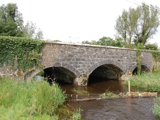 Derrin Bridgebridge · 1071 yd
 Cross in KillCross · 1455 yd
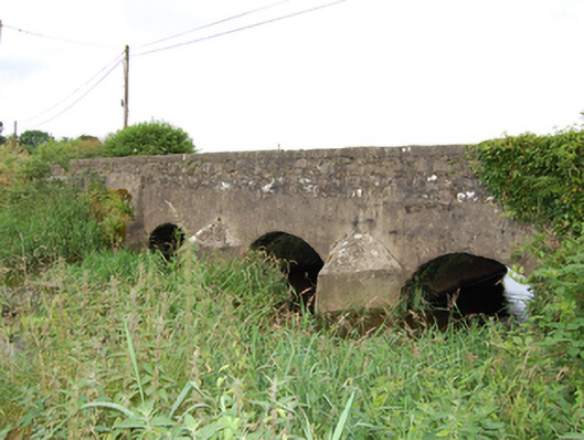 bridgebridge · 1704 yd
 Enclosure in MullacastleEnclosure · 1.4 mi
 Deer ParkWood · 1.8 mi
 Aghakilmore LowerMountain / peak · 1.9 mi
 DrumbrucklisMountain / peak · 2.3 mi
 Giant's GraveArchaeological place · 2.3 mi
 Bawn in DuffcastleBawn · 3.2 mi
 Ardkill ForestForest · 3.2 mi
 Crane IslandIslet · 4.4 mi
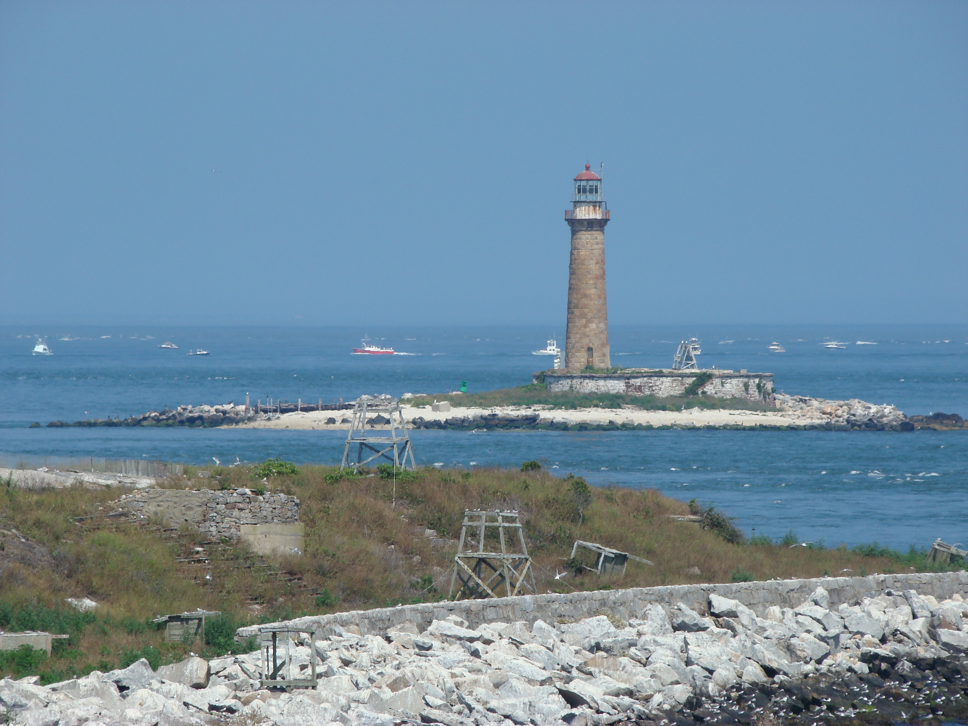 Gull IslandIslet · 4.5 mi