What is recorded here
Kilfintan is a levelled ringfort, remembered only as a shallow circular scar in wet pasture. It appeared as a fort on the 1837 map, but human feet and ploughs have since smoothed most of its shape. What remains is a low boundary, barely higher than the grass, large enough to hold a small house, a herd or a family argument. The fairies may have taken the rest, or men may have simply stopped believing the edge was worth keeping.
On a low rise in wet, rushy pasture. Depicted as a circular enclosure with the designation 'Fort' on the 1837 ed. of the OS 6-inch map. The monument has been levelled. However, the outline of its perimeter, marked by a low, poorly defined scarp (H 0.5-1m), is still identifiable delimiting a circular area (diam. c. 30m).
Compiled by: Patrick F. O'Donovan
Date of upload: 26 August 2011
The monument record does not grant public access. Check the route and ask the landowner before entering private land.
- What survives
- Recorded monument
Places near here
 RoadRoad, class 1 togher · 533 yd
 Partially outlinedFairy fort / earthen ringfort · 903 yd
 Site of Kinard NunneryReligious house nunnery, unclassified · 953 yd
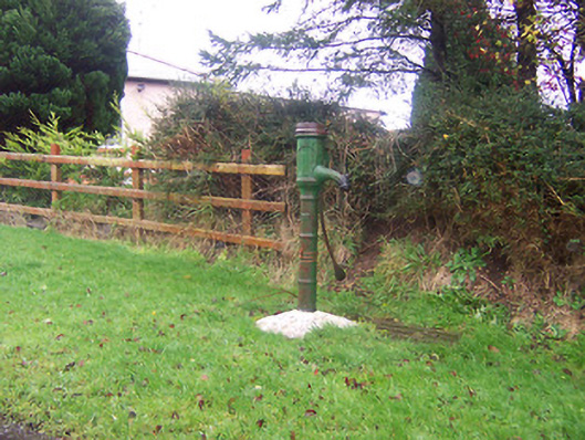 water pumpwater pump · 954 yd
 Coolamber CastleHouse, fortified house · 1.2 mi
 Site of Castle NugentCastle, unclassified · 2.0 mi
 Granard MotteMotte-and-bailey castle remains · 3.7 mi
 1798 Monumentmonument · 3.8 mi
 CarrickMountain / peak · 5.5 mi
 Clonfin Ambush MemorialMemorial · 5.5 mi
 Watty's RocksIslet · 5.7 mi
 CarrickabaneMountain / peak · 5.8 mi