What is recorded here
Kilcranathan held a twenty-five metre earthen ringfort that commanded southern and western views before a bungalow erased most of its shape. The fort resisted ordinary measurement because its bank still marks the soil beneath grass and concrete. What was levelled has not forgotten the difference between inside and outside.
In pasture, with commanding views to S and W. Depicted as hachured roughly circular enclosure (diam. c. 25m) on 1842 OS 6-inch map. Levelled; bungalow built on site. Bank visible as cropmark in aerial photograph (GSIAP, W410, 03-07-1975), with S side incorporated into field boundary. Recorded by Bowman (1934, 13) as levelled single-ramparted fort (diam. c. 31yd) on J. Tarrant's land, with small portion of rampart remaining to form boundary fence.
The above description is derived from the published 'Archaeological Inventory of County Cork. Volume 4: North Cork' (Dublin: Stationery Office, 2000). In certain instances the entries have been revised and updated in the light of recent research.
Date of upload/revision: 14 January 2009
The monument record does not grant public access. Check the route and ask the landowner before entering private land.
- What survives
- Recorded monument
Places near here
 Kilcranathan WellHoly well · 195 yd
 Old Burial GroundBurial ground · 947 yd
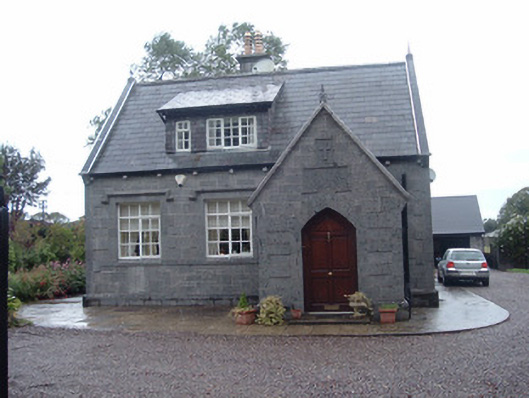 Longueville Schoolschool · 1373 yd
 Longueville Housegate lodge · 1550 yd
 CastleBawn · 1.4 mi
 Dromaneen CastleHeritage attraction · 1.6 mi
 Castle (Remains of)Castle, unclassified · 2.1 mi
 In loving memory of Elvis O'DonoghueMemorial · 3.1 mi
 Graveyard in Ballygiblin (duhallow By.)Graveyard · 3.6 mi
 European YewEuropean Yew · 5.1 mi
 Burial ground in AssolasBurial ground · 5.3 mi
 Mount HillaryMountain / peak · 5.7 mi