What is recorded here
Situated on top of a low rise, in undulating pasture, with good views to SE. Ringfort (WM024-130----) lies c. 220m to WNW. Levelled monument described in 1971 as an oval-shaped cropmark (dims. 37m NW-SE; 32m NE-SW) defined by a black band of earth (Wth 9m) showing recent signs of disturbance and levelling. The interior rises appreciably from the perimeter towards the centre and there are vague traces of cultivation ridges running NW-SE. The original entrance is not visible. Upstanding monument visible as a roughly oval-shaped earthwork on oblique aerial photographs (CUCAP AOY081/BDK024) taken 12/07/1966 and 14/07/1970.
Compiled by Alison McQueen, Vera Rahilly and Caimin O’Brien.
Date of upload: 24 September 2019
The monument record does not grant public access. Check the route and ask the landowner before entering private land.
- What survives
- Recorded monument
Places near here
 Carn CastleCastle · 564 yd
 OutlinedFairy fort / earthen ringfort · 767 yd
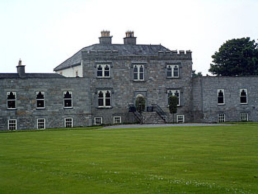 Jamestown Courtcountry house · 777 yd
 Redmondstowndemesne walls/gates/railings · 856 yd
 Enclosure in KilleenEnclosure · 943 yd
 Adamstown Castle (in Ruins)Castle, tower house · 1.1 mi
 Hill of UisneachMountain / peak · 2.1 mi
 European ashEuropean ash · 2.5 mi
 Sam's ParkForest · 2.7 mi
 KnockastiaMountain / peak · 4.3 mi
 Charles BianconiMemorial · 9.1 mi
 The Bob Traynor GalleryGallery · 9.2 mi